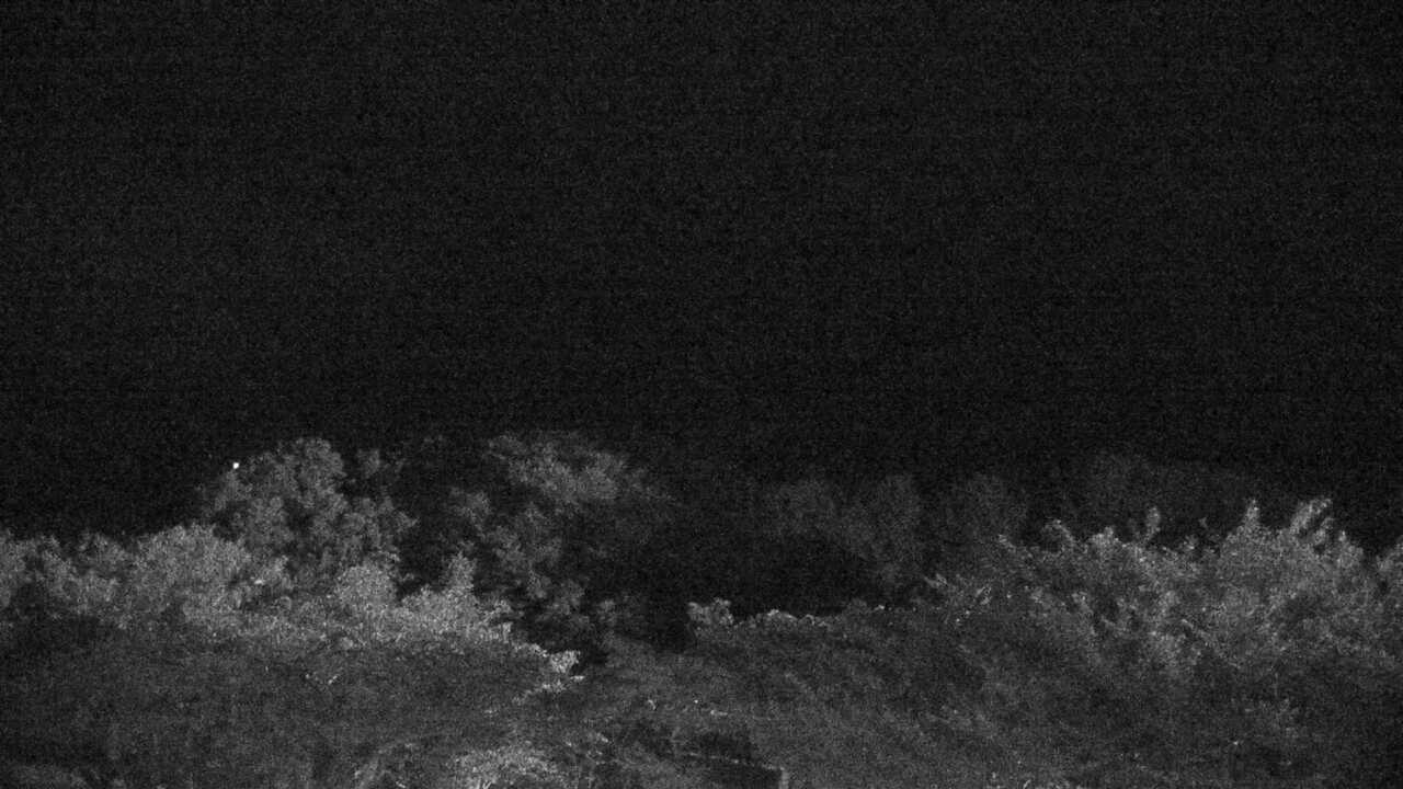
The Natural Parks Foundation's official camera looks from Kusasenri Viewpoint toward the grassland and Aso Nakadake. Check local notices separately for crater access.
Source type
Official YouTube source
Preview on this page
YouTube video preview
Link status
Check the official page
Live status
Check at source
Link last checked
29 Sept 2026, 20:46 JST
Local weather
Kumamoto · Conditions at the camera site may differ.
What does this camera show?
The Kusasenri viewpoint feed looks across the grassland toward Nakadake. The volcano museum rooftop has its own grassland view, so use the camera for the stop you plan to make.
YouTube video. The link opens the operator’s YouTube video. Check the Live badge and broadcast date to distinguish a live stream from a recording.
Visible scene
the grassland and Nakadake from Kusasenri Viewpoint
The map also shows rail lines serving Asoshimodajo Station. The distance above is a straight line, not a walking time. Check the actual entrance and route below.
The closest station in a straight line may not be the easiest way in. The route also ends at the camera reference point, so change it to the place you actually plan to visit. Check buses, journey time and first or last trains in the route results.
Nearby cameras
Distances are straight lines between camera reference points, not actual journey distances or times.
RKK's rooftop camera at the Aso Volcano Museum shows Kusasenri grassland and sky, not the crater or an alert monitor. Check official volcanic alerts and access notices before visiting.
Aso Design Center's official camera shows Shin-Aso Bridge, the surrounding hills and the viewpoint forecourt. The marker is an approximate facility-area reference, not a verified camera mount.
The Japan Meteorological Agency's periodically updated still image looks toward Mount Aso from Kurumagaeri. It is not continuous video; check alerts and access restrictions before hiking.
The Ministry of the Environment camera looks toward Mount Nekodake in the Aso range from Minamiaso. It shows the ridgeline and sky, not Aso crater or Kusasenri.
The Aso Design Center camera looks over the Daikanbo viewpoint parking area, with grassland and mountains beyond. Check the official feed before visiting.


 No on-site preview · check the official source