Kyoto Fushimi Inari Urasando Approach
Urasando approach near Fushimi Inari
- Source
- Kyoto City Tourism Association
- Format
- Operator camera page
 JapanLiveNowLIVE
伏見稲荷大社(裏参道)
 YouTube · Preview loading failed
This Kyoto City Tourism Association camera faces the Urasando approach near Fushimi Inari, not the Senbon Torii path or the summit. Check the operator's page to see whether a video is available.
Kyoto · Conditions at the camera site may differ.
Check this view before visiting Fushimi Inari Taisha if you want to see the rear approach area. It does not show the front entrance or all of Senbon Torii, so do not treat it as a view of the whole shrine.
Operator camera page. The video preview is unavailable here. Open the operator’s camera page to check for a current view or a newer stream.
Do not use one approach-path view to judge safety across the mountain trail or conditions after dark. In severe weather or an emergency, check the shrine and municipal notices first.
If there is no video there either, check the operator’s updates for a new stream.
Operator and source information ↗
Camera travel guide updated:
Report an error or ended video for this camera · Our editorial standards
| Camera | What it shows | Open source |
|---|---|---|
| Kyoto Fushimi Inari Urasando Approach | Urasando approach near Fushimi Inari | Operator camera page ↗ |
| Kyoto Kiyomizu-zaka Temple Approach | Kiyomizu-zaka approach to Kiyomizu-dera | YouTube video ↗ |
| Kyoto Philosopher’s Path North End | Northern end of the Philosopher's Path | Operator camera page ↗ |
The pin marks the camera facility or a documented reference point. Some cameras are on hotel roofs or broadcast buildings that visitors cannot enter. Check the entrance to the place you actually plan to visit.
The closest station by coordinates is Inari Station, 0.1 km from the camera reference point in a straight line. This is not a verified walking route or recommended access station. Check the visitor destination and its official access information.
Urasando approach near Fushimi Inari
Kiyomizu-zaka approach to Kiyomizu-dera
Northern end of the Philosopher's Path
Area around the north end of Togetsukyo Bridge
Kujo Pond and Shusuitei teahouse in Kyoto Gyoen
Nene-no-michi near Kodai-ji
Camera facility location · 34.96794, 135.77090
The map also shows rail lines serving Inari Station. The distance above is a straight line, not a walking time. Check the actual entrance and route below.
The closest station in a straight line may not be the easiest way in. The route also ends at the camera reference point, so change it to the place you actually plan to visit. Check buses, journey time and first or last trains in the route results.
Distances are straight lines between camera reference points, not actual journey distances or times.
 YouTube · Video thumbnail · check live status at source
Kyoto
清水坂
MLIT's Kyoto National Highway Office camera shows Kiyomizu-zaka, the approach to Kiyomizu-dera. It does not show the temple's main hall, stage or Sannenzaka.
About 3.3 km · straight line
MLIT Kyoto National Highway Office
Watch on YouTube YouTube · Video thumbnail · check live status at source
Kyoto
ねねの道
Check Nene-no-michi near Kodai-ji through the Kyoto City Tourism Association's camera before walking around Gion and Kiyomizu. The view does not directly show Ninenzaka or Sannenzaka.
About 3.7 km · straight line
Kyoto City Tourism Association
Watch on YouTube YouTube · Video thumbnail · check live status at source
Kyoto
花見小路
Take a look at Hanamikoji Street in Gion through the Kyoto City Tourism Association's camera. When visiting, follow local signs about private property and photography.
About 4.0 km · straight line
Kyoto City Tourism Association
Watch on YouTube YouTube · Video thumbnail · check live status at source
Kyoto
錦市場
The Kyoto City Tourism Association camera shows part of Nishiki Market. Its listed broadcast hours are 11 a.m. to 6 p.m.
About 4.2 km · straight line
Kyoto City Tourism Association
Watch on YouTube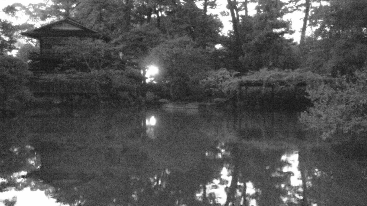 Periodically updated image · 29/09, 19:00 JST
Kyoto
京都御苑(九條家の遺構・拾翠亭)
See Kujo Pond and the area around Shusuitei in Kyoto Gyoen in still images from the Ministry of the Environment. The garden image normally updates about once an hour, so check its timestamp.
About 5.6 km · straight line
Ministry of the Environment, Japan
Open official cameraYouTube · Preview loading failedKyoto
哲学の道
The Kyoto City Tourism Association camera faces the northern end of Philosopher's Path. Before a blossom or autumn walk, check the operator's page for a current stream and its broadcast date.
About 6.9 km · straight line
Kyoto City Tourism Association
Open the operator’s camera page