Official camera source

Ano Village in Gojo camera

五條市 賀名生の里

Ano Village in GojoNo source preview provided · check the official source

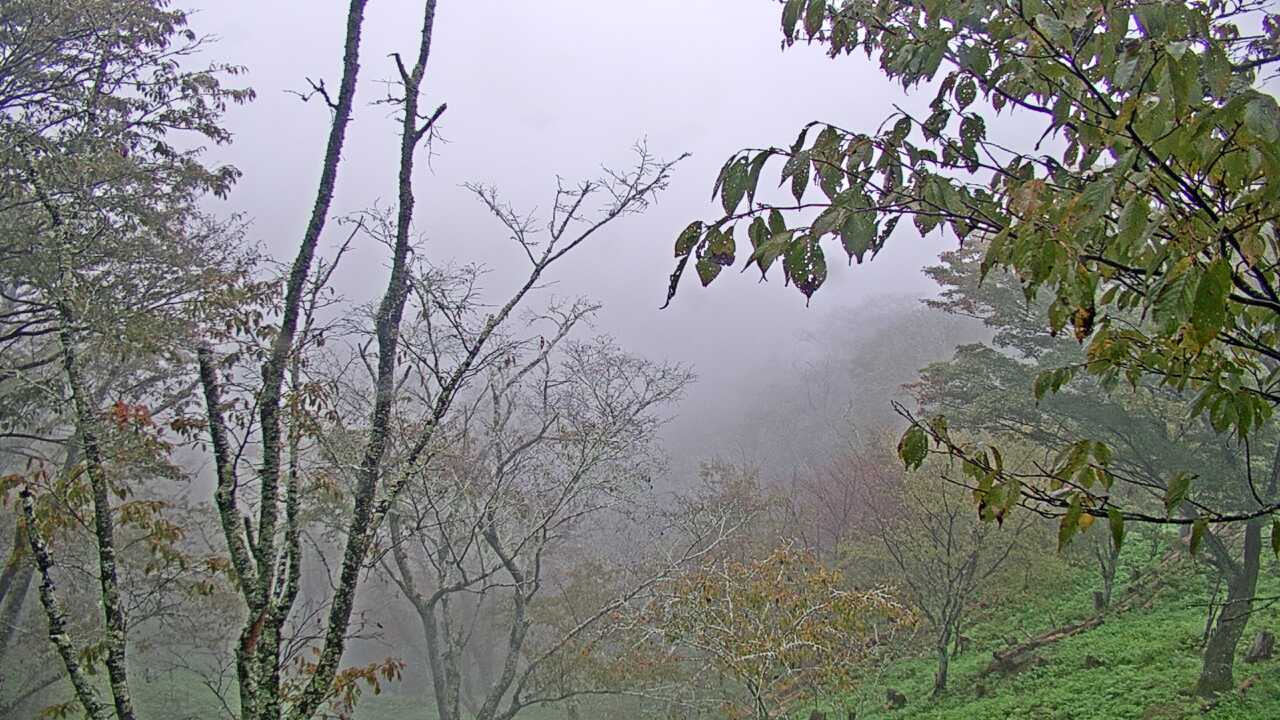
Komadori Cable's official camera shows the village surroundings around Ano in Gojo, not all of the nearby plum blossoms.

Source type
Official camera page
Preview on this page
Open the source page for the camera view
Link status
Check the official page
Link last checked
29 Sept 2026, 20:46 JST

Local weather

Nara · Conditions at the camera site may differ.

What does this camera show?

Use Ano for the village setting and sky, distinct from Gojo’s historic urban street camera.

Official camera page. Select “Open official camera” to see the operator’s current view and service notices.

Visible scene
the village surroundings and sky at Ano
Official operator
Komadori Cable
Camera location
Approximate location · Nara
Open official camera ↗

What this view cannot tell you

This does not cover the entire nearby plum grove. Blossom on a village tree cannot establish peak bloom across the grove.

About this map pin

Approximate position based on the official facility or landmark. The exact camera mounting point is not confirmed.

View location evidence ↗

Official view not opening?

If the source does not open or shows a blank screen, try again later.

Operator and source information ↗

Camera travel guide updated:

Report an error or ended video for this camera · Our editorial standards

Camera location

Approximate location · 34.299, 135.719

Location source
Nearest rail stationYamatofutami Station
6.2 kmstraight lineCheck the routeWalking time

The map also shows rail lines serving Yamatofutami Station. The distance above is a straight line, not a walking time. Check the actual entrance and route below.

The closest station in a straight line may not be the easiest way in. The route also ends at the camera reference point, so change it to the place you actually plan to visit. Check buses, journey time and first or last trains in the route results.

Nearby cameras

Distances are straight lines between camera reference points, not actual journey distances or times.

Gojo Historic StreetNo source preview provided · check the official source

Nara

Gojo Historic Street

This official camera shows the streets around Gojo’s Machinami Denshokan heritage facility. Check the weather and streetscape before a walk.

About 6.0 km · straight line

Komadori Cable

Open official camera
Nosegawa Sea of Clouds ViewNo source preview provided · check the official source

Nara

Nosegawa Sea of Clouds View

This official camera looks out from Nosegawa’s sea-of-clouds viewpoint. The clouds depend on the weather, and fog or darkness can limit the view.

About 14.1 km · straight line

Komadori Cable

Open official camera
Koyasan Central Information Center StreetYouTube · Video thumbnail · check live status at source

Wakayama

Koyasan Central Information Center Street

Koya Town links this camera in front of the central information center from its official visitor map. It shows shops, pavements and buses in Koyasan's visitor center area.


About 15.5 km · straight line

Koya Town

Watch on YouTube
Mitarai Valley in TenkawaNo source preview provided · check the official source
Nara

Mitarai Valley in Tenkawa

The broadcaster's official camera shows Mitarai Valley. Check the valley scenery here, and consult local notices for access and river conditions.

About 16.0 km · straight line

Komadori Cable

Open official camera