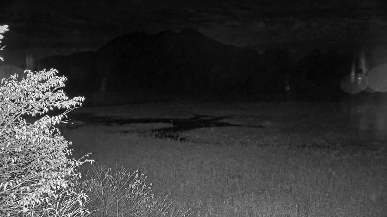
See Lake Yunoko and its surroundings in Oku-Nikko on the Ministry of the Environment camera. The lakeside scenery changes with the seasons.
Source type
Official camera page
Preview on this page
Still-image preview · check its timestamp at the source
Link status
Check the official page
Image capture time
29 Sept 2026, 20:00 JST
Link last checked
29 Sept 2026, 20:46 JST
Local weather
Utsunomiya · Conditions at the camera site may differ.
What does this camera show?
See Lake Yunoko and its surroundings in Oku-Nikko. Compare it with the Yutaki camera if you are choosing between a lakeside scene and a waterfall view.
Official page · still preview. This is a still-image preview, not continuous video. Check the official page for its capture time and any video feed.
Visible scene
Lake Yunoko in Nikko National Park
Official operator
Biodiversity Center of Japan, Ministry of the Environment
The map also shows rail lines serving Mato Station. The distance above is a straight line, not a walking time. Check the actual entrance and route below.
The closest station in a straight line may not be the easiest way in. The route also ends at the camera reference point, so change it to the place you actually plan to visit. Check buses, journey time and first or last trains in the route results.
Nearby cameras
Distances are straight lines between camera reference points, not actual journey distances or times.
This camera shows Yutaki Falls from the rest-house area below. The still image updates about every 15 minutes, though the falls may be hard to see at night.
Futarasan Shrine provides this Mount Nantai summit camera, listed by Nikko’s tourism association. Select 男体山山頂 on the official list for updated pictures.
Nikko’s tourism association links to the official YouTube camera at Futarasan Shrine Chugushi on Lake Chuzenji’s north shore. Check scenery and weather around this shrine.
Open the Natural Parks Foundation’s official live channel for Kirifuri Kisugedaira. Preview the highland setting and check current broadcast availability there.

 No on-site preview · check the official source