Tsukuba City’s official camera looks uphill from the middle of the plum grove. See the grove during plum-blossom season and check its weather year-round. These are plum trees, not cherry blossoms; the marker is an approximate grove reference.
Source type
Official YouTube source
Preview on this page
YouTube video preview
Link status
Check the official page
Live status
Check at source
Link last checked
29 Sept 2026, 20:46 JST
Local weather
Mito · Conditions at the camera site may differ.
What does this camera show?
Check visible blossom in the upper plum grove from its middle slope. This is a plum-viewing site, not a cherry-blossom camera.
YouTube video. The link opens the operator’s YouTube video. Check the Live badge and broadcast date to distinguish a live stream from a recording.
The map also shows rail lines serving Miyawaki Station. The distance above is a straight line, not a walking time. Check the actual entrance and route below.
The closest station in a straight line may not be the easiest way in. The route also ends at the camera reference point, so change it to the place you actually plan to visit. Check buses, journey time and first or last trains in the route results.
Nearby cameras
Distances are straight lines between camera reference points, not actual journey distances or times.
Tsukuba City’s official camera looks toward the Kanto Plain from the ropeway station just below Nyotai’s summit. Check the weather and distant views; clouds or fog can obscure the panorama.


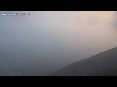 YouTube · Video thumbnail · check live status at source