Official camera page · still preview

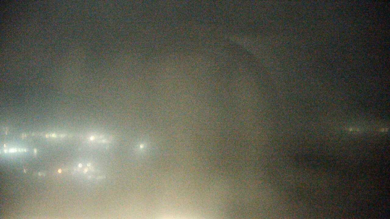
Seto Inland Sea from Mount Washuzan camera

鷲羽山からみた瀬戸内海

Seto Inland Sea from Mount WashuzanPeriodically updated image · 29/09, 20:00 JST

From Mount Washuzan, the Ministry of the Environment camera looks down over the islands of the Seto Inland Sea.

Source type
Official camera page
Preview on this page
Still-image preview · check its timestamp at the source
Link status
Check the official page
Image capture time
29 Sept 2026, 20:00 JST
Link last checked
29 Sept 2026, 20:46 JST

Local weather

Okayama · Conditions at the camera site may differ.

What does this camera show?

From Washuzan, the camera looks down over the islands scattered across the Seto Inland Sea. Check the image time as well as the view.

Official page · still preview. This is a still-image preview, not continuous video. Check the official page for its capture time and any video feed.

Visible scene
The Seto Inland Sea and its islands from Mount Washuzan
Official operator
Biodiversity Center of Japan, Ministry of the Environment
Camera location
Camera facility location · Okayama
Open official camera ↗

What this view cannot tell you

Haze over the islands does not tell you what visibility is like elsewhere along the coast.

Has the image stopped updating?

If the image has not changed, check its source timestamp or service notice.

Operator and source information ↗

Camera travel guide updated:

Report an error or ended video for this camera · Our editorial standards

Camera location

Camera facility location · 34.43552, 133.80800

Location source
Nearest rail stationKojima Station
3.1 kmstraight lineCheck the routeWalking time

The map also shows rail lines serving Kojima Station. The distance above is a straight line, not a walking time. Check the actual entrance and route below.

The closest station in a straight line may not be the easiest way in. The route also ends at the camera reference point, so change it to the place you actually plan to visit. Check buses, journey time and first or last trains in the route results.

Nearby cameras

Distances are straight lines between camera reference points, not actual journey distances or times.

Seto Ohashi Bridge from Shottsujiyama, UtazuNo on-site preview · check the official source

Kagawa

Seto Ohashi Bridge from Shottsujiyama, Utazu

KBN's camera looks toward Seto Ohashi Bridge and the Seto Inland Sea from the Shottsujiyama observatory area in Utazu. The button opens KBN's YouTube live list, where you can check whether the bridge camera is on air.

About 13.1 km · straight line

KBN Kagawa Broad Network

Open YouTube channel
Sunport Takamatsu WaterfrontYouTube · Video thumbnail · check live status at source

Kagawa

Sunport Takamatsu Waterfront

Cable Media Shikoku provides this official camera overlooking Sunport Takamatsu, its passenger ferry piers and waterfront paths. The marker is an approximate reference near Takamatsu Symbol Tower, not a verified camera mount.

About 23.8 km · straight line

Cable Media Shikoku (CMS)

Watch on YouTube
Yashima Aquarium Manatees — Temporary BroadcastYouTube · Video thumbnail · check live status at source

Kagawa

Yashima Aquarium Manatees — Temporary Broadcast

TSC TV Setouchi temporarily broadcasts the manatee tank at New Yashima Aquarium during its renovation closure. This camera does not mean the aquarium is open to visitors.

About 28.1 km · straight line

TSC TV Setouchi

Watch on YouTube
Shodoshima Angel RoadNo on-site preview · check the official source

Kagawa

Shodoshima Angel Road

Shodoshima International Hotel provides this camera overlooking Angel Road through its official page. Periodically updated images show the sea and sandbar.

About 35.2 km · straight line

Shodoshima International Hotel

Open official camera