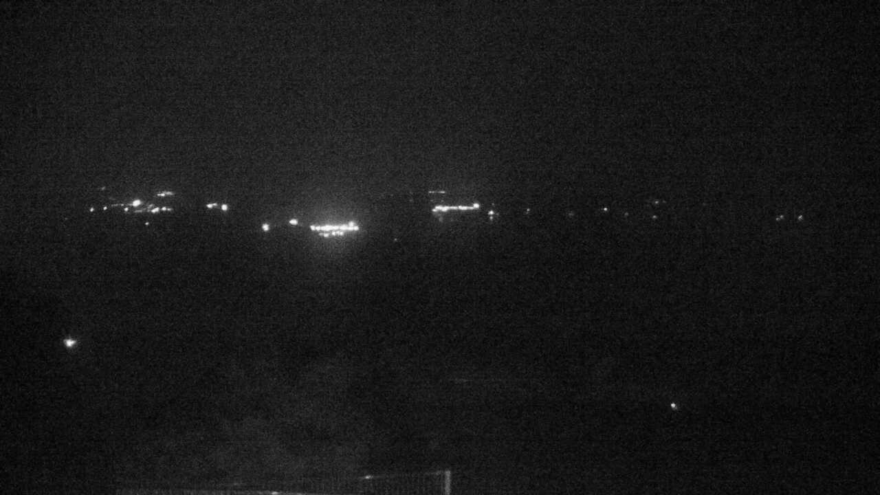
The Ministry of the Environment camera at Yokoyama Viewpoint's sky cafe terrace overlooks Ago Bay. It provides periodically updated photographs rather than continuous video; check the capture time before using the view to plan a visit. The marker uses the ministry's facility reference, not a verified mounting point.
Source type
Official camera page
Preview on this page
Still-image preview · check its timestamp at the source
Link status
Check the official page
Image capture time
29 Sept 2026, 20:00 JST
Link last checked
29 Sept 2026, 20:46 JST
Local weather
Tsu · Conditions at the camera site may differ.
What does this camera show?
Check the café-terrace perspective at Yokoyama for the shape of Ago Bay and its visible islands before a viewpoint visit.
Official page · still preview. This is a still-image preview, not continuous video. Check the official page for its capture time and any video feed.
The map also shows rail lines serving Shimayokoyama Station. The distance above is a straight line, not a walking time. Check the actual entrance and route below.
The closest station in a straight line may not be the easiest way in. The route also ends at the camera reference point, so change it to the place you actually plan to visit. Check buses, journey time and first or last trains in the route results.
Nearby cameras
Distances are straight lines between camera reference points, not actual journey distances or times.
The camera at Daiosaki Lighthouse looks over Cape Daiosaki on the Shima Peninsula and the Kumano Sea. Its view faces the water, not nearby visitor facilities.
This official Japan Coast Guard image shows Toba Port, the adjacent sea and the direction of nearby islands from the Toba Coast Guard office. It provides visual context before an island connection or waterfront visit.