Official camera page · still preview

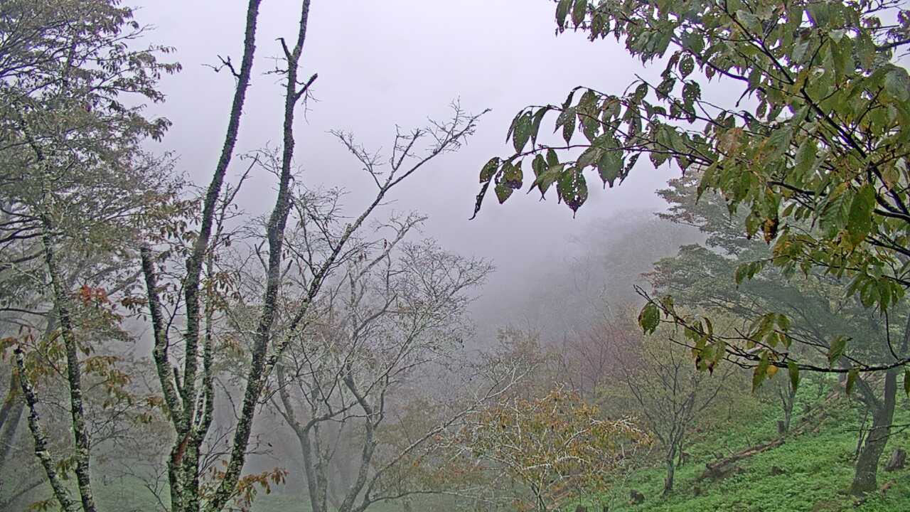
Yoshinoyama Kamisenbon Cherry Blossoms camera

吉野山上千本から望む吉野桜と町並み

Yoshinoyama Kamisenbon Cherry BlossomsPeriodically updated image · 29/09, 12:00 JST

See the slopes and village around Kamisenbon on Mount Yoshino, known for its spring cherry blossoms. The Ministry of the Environment's still images normally update hourly rather than showing continuous video.

Source type
Official camera page
Preview on this page
Still-image preview · check its timestamp at the source
Link status
Check the official page
Image capture time
29 Sept 2026, 12:00 JST
Link last checked
29 Sept 2026, 20:46 JST

Local weather

Nara · Conditions at the camera site may differ.

What does this camera show?

See the slopes and village around Kamisenbon on Mount Yoshino. Check the capture date when looking at the cherry blossoms.

Official page · still preview. This is a still-image preview, not continuous video. Check the official page for its capture time and any video feed.

Visible scene
The slopes and mountain town at Kamisenbon on Mount Yoshino
Official operator
Ministry of the Environment, Japan
Camera location
Camera facility location · Nara
Open official camera ↗

What this view cannot tell you

Bloom conditions at Kamisenbon may differ from other parts of Mount Yoshino. Images usually update hourly, so compare their timestamps.

Has the image stopped updating?

If the image has not changed, check its source timestamp or service notice.

Operator and source information ↗

Camera travel guide updated:

Report an error or ended video for this camera · Our editorial standards

Camera location

Camera facility location · 34.35606, 135.87195

Location source
Nearest rail stationYoshino Station
2.8 kmstraight lineCheck the routeWalking time

The map also shows rail lines serving Yoshino Station. The distance above is a straight line, not a walking time. Check the actual entrance and route below.

The closest station in a straight line may not be the easiest way in. The route also ends at the camera reference point, so change it to the place you actually plan to visit. Check buses, journey time and first or last trains in the route results.

Nearby cameras

Distances are straight lines between camera reference points, not actual journey distances or times.

Mitarai Valley in TenkawaNo source preview provided · check the official source

Nara

Mitarai Valley in Tenkawa

The broadcaster's official camera shows Mitarai Valley. Check the valley scenery here, and consult local notices for access and river conditions.

About 13.5 km · straight line

Komadori Cable

Open official camera
Gojo Historic StreetNo source preview provided · check the official source

Nara

Gojo Historic Street

This official camera shows the streets around Gojo’s Machinami Denshokan heritage facility. Check the weather and streetscape before a walk.

About 16.4 km · straight line

Komadori Cable

Open official camera
Kotochi Temple AreaNo source preview provided · check the official source

Nara

Kotochi Temple Area

The official camera covers the area around the temple in Kotochi, Kamikitayama. It shows the mountain village setting, not the temple interior.

About 26.9 km · straight line

Komadori Cable

Open official camera
Nosegawa Sea of Clouds ViewNo source preview provided · check the official source

Nara

Nosegawa Sea of Clouds View

This official camera looks out from Nosegawa’s sea-of-clouds viewpoint. The clouds depend on the weather, and fog or darkness can limit the view.

About 28.1 km · straight line

Komadori Cable

Open official camera
