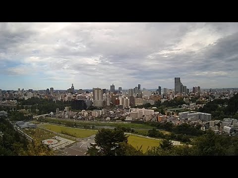
Zao Town's visitor guide links to an MLIT camera around Okama Crater. The updated still images show the mountains and clouds; check the source timestamp as well. The marker is an approximate summit-observatory area reference from the official tourism map, not a verified camera mount. Fog or snow may obscure the view. Images do not establish hiking safety or route access. The official page links to an HTTP viewer.
Source type
Official camera page
Preview on this page
Open the source page for the camera view
Link status
Check the official page
Link last checked
29 Sept 2026, 20:46 JST
Local weather
Sendai · Conditions at the camera site may differ.
What does this camera show?
The public camera linked by Zao Town shows mountains and clouds around Okama. It covers a different area from the ropeway and central-slope cameras.
Official camera page. Select “Open official camera” to see the operator’s current view and service notices.
The map also shows rail lines serving Mokichikinenkanmae Station. The distance above is a straight line, not a walking time. Check the actual entrance and route below.
The closest station in a straight line may not be the easiest way in. The route also ends at the camera reference point, so change it to the place you actually plan to visit. Check buses, journey time and first or last trains in the route results.
Nearby cameras
Distances are straight lines between camera reference points, not actual journey distances or times.
The Zao Chuo Ropeway's central-slope camera shows the lifts and surrounding mountains. For the area around Juhyo Kogen Station and its winter snow monsters, open that station's camera instead.
Sendai city shares a view around Ohashi Bridge, which connects the city and castle ruins. The camera looks toward the castle hillside; the pin marks the approximate bridge area.
Sendai Mediatheque publishes updated views of Jozenji Street toward the Bansui Street intersection. The official page also has a separate view of the building exterior.
Miyagi Television's official camera overlooks Sendai Station's western forecourt, pedestrian decks and surrounding cityscape. The map marks the approximate filming-facility area, not an exact mounting point.


 YouTube · Video thumbnail · check live status at source