
Lake Tofutsu and Mount Shari
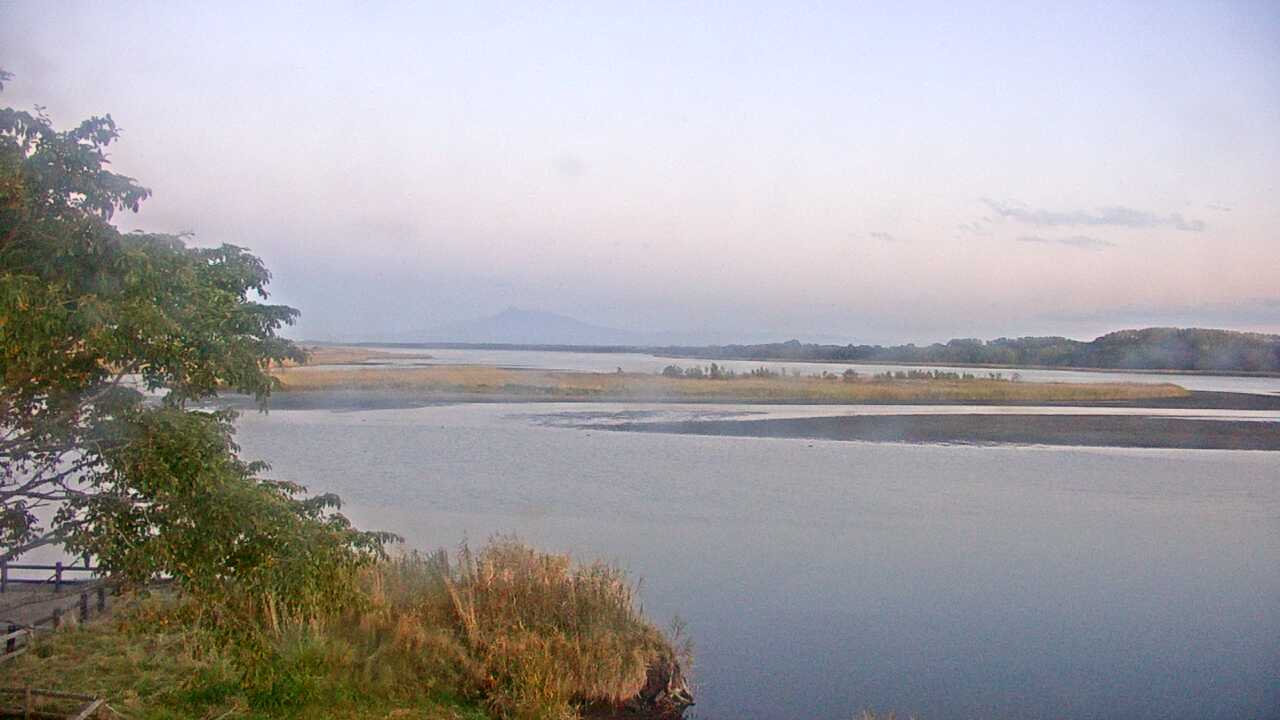
Lake Tofutsu and the wetlands toward Mount Shari
- Source
- Ministry of the Environment Biodiversity Center
- Format
- Official page · still preview
Find camera views of streets, parks and viewpoints across Japan. Each page explains what the camera faces and whether the source offers video or updated images.
A map pin does not always mark the subject in frame. Some pins are approximate camera locations, so check each guide for its viewpoint and direction.
Lake Tofutsu and the wetlands toward Mount Shari
Lake Kussharo and its surrounding mountains from Bihoro Pass
Sanctuary fields visited by wintering red-crowned cranes
Wetlands and sky seen from the Sarobetsu Wetland Center
Naganuma and the surrounding Sarobetsu wetland
Lake Kutcharo's lakeshore, a stopover for migrating birds
 Periodically updated image · 08/10, 17:00 JST
Hokkaido
濤沸湖と斜里岳
This camera looks across Lake Tofutsu toward Mount Shari from the Waterfowl and Wetland Center. The lake and wetland share the frame, with the mountain farther back.
Ministry of the Environment Biodiversity Center
Open official camera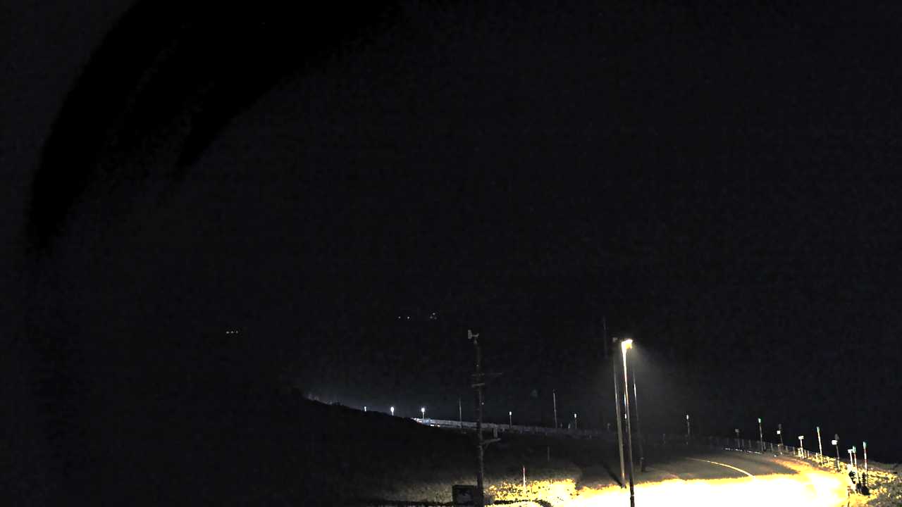 Periodically updated image · 09/10, 20:00 JST
Hokkaido
美幌峠からみた屈斜路湖
This periodically refreshed image looks down on Lake Kussharo from the Gurutto Panorama roadside station at Bihoro Pass. The lake, mist and surrounding mountains fill the view.
Ministry of the Environment Biodiversity Center
Open official camera Periodically updated image · 09/10, 20:00 JST
Hokkaido
釧路湿原のタンチョウ
This camera looks over the fields at Tsurui Ito Crane Sanctuary, where red-crowned cranes gather in winter. Whether they appear in the image depends on the season and time of day.
Ministry of the Environment Biodiversity Center
Open official camera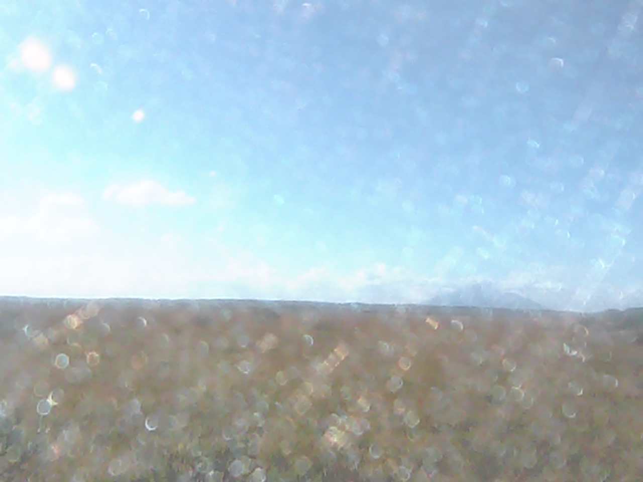 Periodically updated image · 04/10, 13:15 JST
Hokkaido
サロベツ湿原センターからみたサロベツ湿原
The Sarobetsu Wetland Center camera looks out across the marsh. The wetland’s colors change with the seasons, with the sky above in view as well.
Ministry of the Environment Biodiversity Center
Open official camera Periodically updated image · 09/10, 20:00 JST
Hokkaido
幌延ビジターセンターからみたサロベツ湿原
From Horonobe Visitor Center, the camera looks over Naganuma and the surrounding Sarobetsu wetland. The landscape changes with the seasons.
Ministry of the Environment Biodiversity Center
Open official camera Periodically updated image · 09/10, 20:00 JST
Hokkaido
クッチャロ湖のハクチョウ
This view looks over Lake Kutcharo from the Waterfowl Observatory in Hamatonbetsu. Migrating birds stop here in spring and autumn, though they may not be in the frame.
Ministry of the Environment Biodiversity Center
Open official camera Periodically updated image · 09/10, 20:00 JST
Aomori
小湊海岸のハクチョウ
From Hiranai Swan Observatory, the camera looks along Kominato Coast. Swans visit in winter, though they may not be in the frame.
Ministry of the Environment Biodiversity Center
Open official camera Periodically updated image · 09/10, 19:00 JST
Akita
発荷峠からみた十和田湖
This view looks out over Lake Towada from Hakka Pass Observatory in Kosaka, Akita. The colors of the surrounding forest change with the seasons.
Ministry of the Environment Biodiversity Center
Open official camera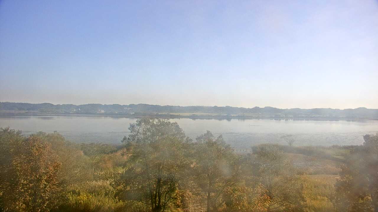 Periodically updated image · 09/10, 15:00 JST
Miyagi
伊豆沼のガンカモ類
This view looks over the lake from the Izunuma Uchinuma Sanctuary Center in Miyagi. Geese and ducks may appear during their seasonal visits.
Ministry of the Environment Biodiversity Center
Open official camera Periodically updated image · 09/10, 19:00 JST
Yamagata
羽黒町からみた月山遠望
The camera at Tsuruoka City’s Haguro branch office looks toward Mount Gassan. From this distance, you can see the mountain’s overall outline and seasonal changes.
Ministry of the Environment Biodiversity Center
Open official camera Periodically updated image · 09/10, 20:00 JST
Fukushima
裏磐梯レンゲ沼と磐梯山
The Renge-numa camera shows the pond and the view toward Mount Bandai in Urabandai. You can see the sky and seasonal scenery around the water before a walk.
Ministry of the Environment Biodiversity Center
Open official camera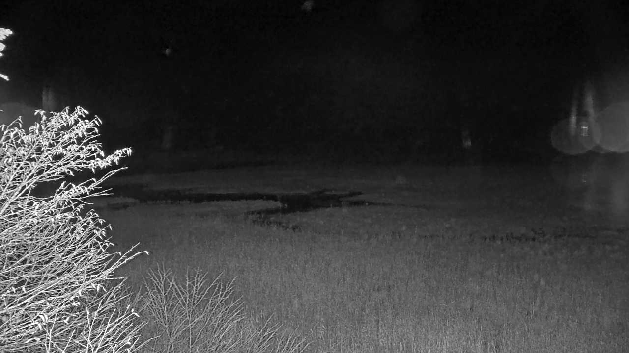 Periodically updated image · 09/10, 20:00 JST
Fukushima
尾瀬沼
This camera looks across Lake Oze-numa and the surrounding mountains from Hinoemata. It gives you a preview of the scenery before a wetland walk.
Ministry of the Environment Biodiversity Center
Open official cameraHokkaido
宗谷岬灯台
The Japan Coast Guard camera at Cape Soya Lighthouse looks toward the sea and sky at Hokkaido’s northern tip. Open the source to see the horizon and coastline around the cape.
Japan Coast Guard
Open official cameraHokkaido
元地灯台
This camera looks along the southern coast of Rebun Island from Motochi Lighthouse, near the walking route to Momoiwa Observatory.
Japan Coast Guard
Open official cameraHokkaido
チキウ岬灯台
From Cape Chikyu Lighthouse in Muroran, the camera looks over the Pacific. The cliffs and horizon are part of the view.
Japan Coast Guard
Open official cameraHokkaido
襟裳岬灯台
From Cape Erimo Lighthouse, the camera shows the sea and sky around the cape. Check the view before a drive along the Hidaka coast.
Japan Coast Guard
Open official cameraHokkaido
鴎島灯台
This lighthouse camera looks over the sea around Kamome Island in Esashi. Open the official source before planning a coastal walk or evening visit.
Japan Coast Guard
Open official cameraHokkaido
日和山灯台
From Hiyoriyama Lighthouse in Otaru’s Shukutsu district, the camera looks out over the sea and sky. You can see the coast around the lighthouse before exploring the area.
Japan Coast Guard
Open official cameraHokkaido
増毛灯台
The Mashike Lighthouse camera looks out over the coast near the old port town. It shows the sea rather than the town streets.
Japan Coast Guard
Open official cameraHokkaido
サロマ湖口灯台
This camera shows where Lake Saroma meets the Sea of Okhotsk. The view takes in the surrounding sea and sky at the lake’s entrance.
Japan Coast Guard
Open official cameraHokkaido
納沙布岬灯台
The Cape Nosappu Lighthouse camera in Nemuro looks out over the sea. Visibility changes with the weather and time of day, even at this sunrise spot.
Japan Coast Guard
Open official camera No on-site preview · check the official source
Hokkaido
第一展望台からみた摩周湖
This camera shows Lake Mashu from Teshikaga Town’s First Observatory. Depending on the mist, more or less of the lake may be visible.
Ministry of the Environment Biodiversity Center
Open official cameraNo on-site preview · check the official sourceHokkaido
大雪山旭岳
This is Mount Asahidake from Sugatami Station, the ropeway’s upper station. Depending on the season, you may see lingering snow or autumn color on the mountain.
Ministry of the Environment Biodiversity Center
Open official cameraNo on-site preview · check the official sourceIwate
浄土ヶ浜
This camera looks toward the Jodogahama coast from Miyako’s Rest House. Open the official source to view its image or video before a beach visit.
Ministry of the Environment Biodiversity Center
Open official cameraCamera guide updated: