The Adachi Museum of Art’s official camera shows its Japanese garden. The map pin is an approximate museum location, not a verified camera position. The YouTube preview may not show the current scene.
Source type
Official YouTube source
Preview on this page
YouTube video preview
Link status
Check the official page
Live status
Check at source
Link last checked
29 Sept 2026, 20:46 JST
Local weather
Matsue · Conditions at the camera site may differ.
What does this camera show?
Open the museum’s official video for a look at its garden, not the indoor galleries.
YouTube video. The link opens the operator’s YouTube video. Check the Live badge and broadcast date to distinguish a live stream from a recording.
The map also shows rail lines serving Arashima Station. The distance above is a straight line, not a walking time. Check the actual entrance and route below.
The closest station in a straight line may not be the easiest way in. The route also ends at the camera reference point, so change it to the place you actually plan to visit. Check buses, journey time and first or last trains in the route results.
Nearby cameras
Distances are straight lines between camera reference points, not actual journey distances or times.
This official Ministry of the Environment image shows the lake and observation area used by tundra swans at Yonago Waterbird Sanctuary. Before a winter bird-watching visit, it can provide a view of the water and whether birds happen to be in frame.
NKT's official camera overlooks Yonago Station and the Gaina Road pedestrian passage. The marker uses the approximate location of Yonago Washington Hotel Plaza, identified as the filming facility, rather than the exact camera mount.
TSK's camera at its Matsue headquarters shows a river crossing and the city toward the station. For Shinjiko Ohashi and the lakeside, use San-in Cable Vision's bridge camera.
San-in Cable Vision provides this view of Shinjiko Ohashi and Matsue's waterfront. The bridge and lakeside cityscape offer context before a walk around Matsue.
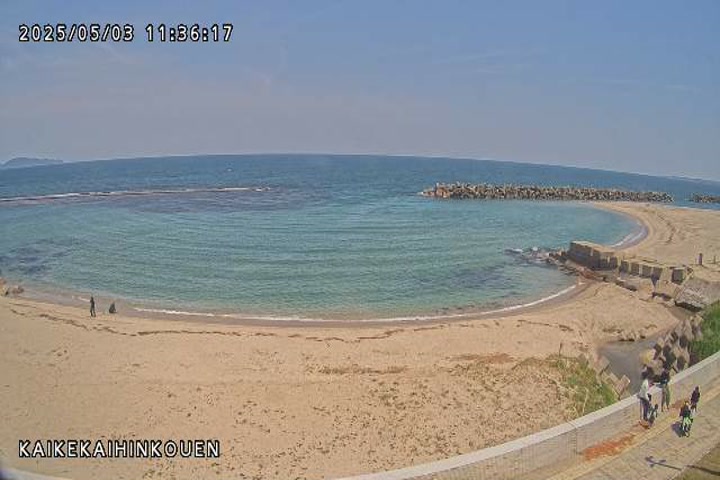
MLIT's Hino River Office provides coastal observation images from Kaike Seaside Park. Check the seafront weather while planning a walk during a Kaike Onsen visit.
This camera looks over the coast and Sea of Japan around Cape Mihonoseki on the Shimane Peninsula. It is a seaward view, unlike central Matsue; check visitor access to the lighthouse separately.


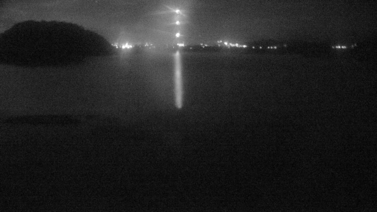 Periodically updated image · 29/09, 20:00 JST