Dry-looking steps in one frame do not establish footing everywhere. Shop and bath opening hours require separate checks.
About this map pin
The installation point is not confirmed. This pin uses a mapped reference near Gunma Ikaho Onsen Stone Steps; the filmed landmark and camera position may differ.
The map also shows rail lines serving Ubashima Station. The distance above is a straight line, not a walking time. Check the actual entrance and route below.
The closest station in a straight line may not be the easiest way in. The route also ends at the camera reference point, so change it to the place you actually plan to visit. Check buses, journey time and first or last trains in the route results.
Nearby cameras
Distances are straight lines between camera reference points, not actual journey distances or times.
Karuizawa Town's official camera shows the rotary at the entrance to the old Ginza shopping street. It helps visitors check local conditions before exploring the historic district.
Karuizawa Town's official camera covers the north plaza outside the station, on the way toward the old town. Check what is visible there before setting out.
Karuizawa Town's official camera shows Kumoba Pond and nearby trees, useful for checking weather and seasonal autumn foliage. Colour timing varies each year, and the view does not represent crowding along the entire walking trail.
The Ministry of the Environment's updated image shows Mount Asama and the sky from Tsumagoi. You can see how much cloud covers the mountain, but an apparent plume cannot establish volcanic conditions.
Naeba’s official site links to periodically refreshed images of the slopes in front of its base hotel. Images are approximately 15 minutes apart and may appear monochrome at night.


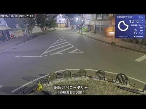 YouTube · Video thumbnail · check live status at source