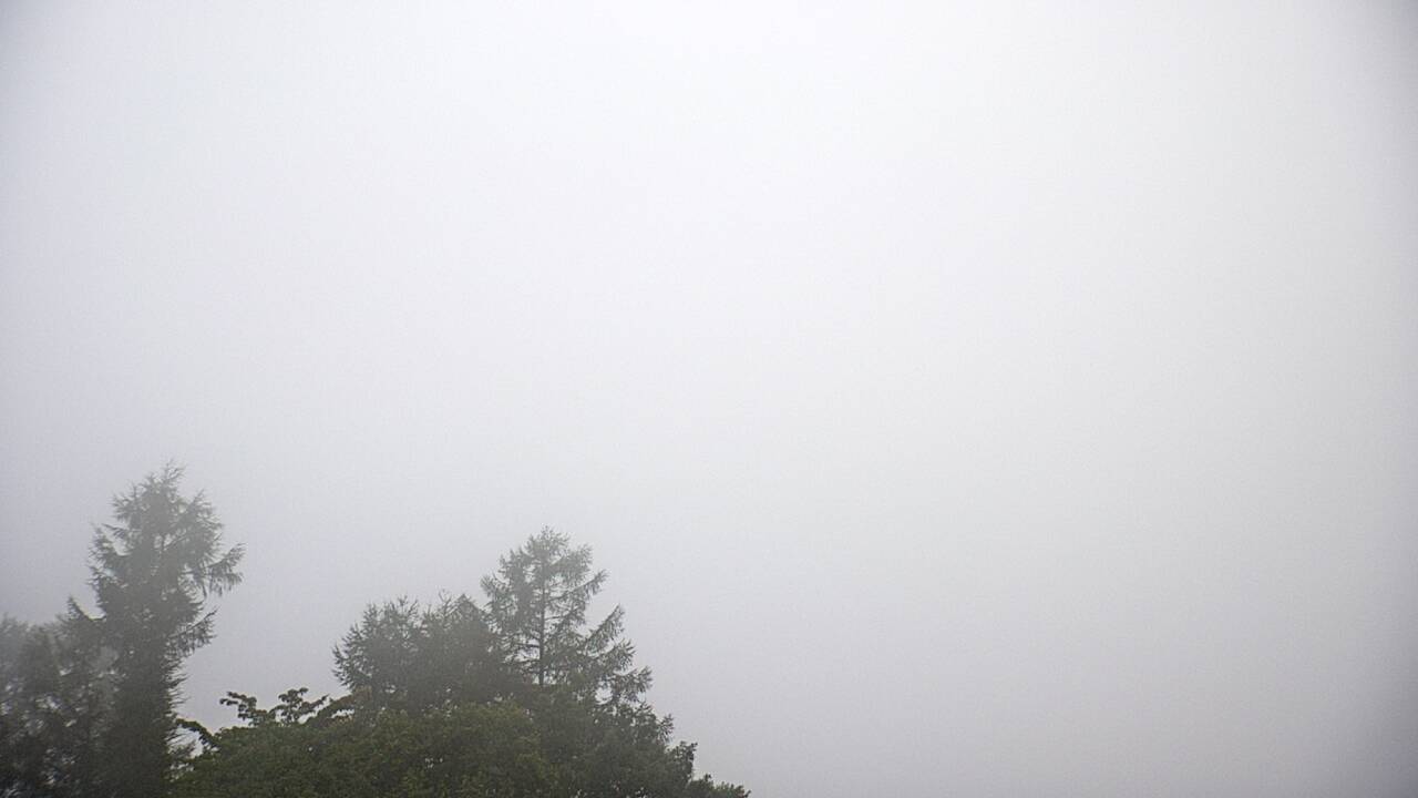
The Ministry of the Environment's updated image shows Mount Asama and the sky from Tsumagoi. You can see how much cloud covers the mountain, but an apparent plume cannot establish volcanic conditions. Check Japan Meteorological Agency and local government notices for safety information.
Source type
Official camera page
Preview on this page
Still-image preview · check its timestamp at the source
Link status
Check the official page
Live status
Check at source
Image capture time
Capture time unavailable
Link last checked
Connection check time unavailable
Local weather
Maebashi · Forecast for the reference city; conditions at the camera may differ.
Loading weather...
What does this camera show?
Use the capture time and summit direction to see how much of Mount Asama is obscured from Tsumagoi before a sightseeing stop.
Official page · still preview. This is a still-image preview, not continuous video. Check the official page for its capture time and any video feed.
If the image has not changed, check its source timestamp or service notice. This site’s preview refresh alone does not establish whether the camera is operating.
The map also shows rail lines serving Fukurogura Station. The distance above is a straight line, not a walking time. Check the actual entrance and route below.
The closest station in a straight line may not be the easiest way in. The route also ends at the camera reference point, so change it to the place you actually plan to visit. Check buses, journey time and first or last trains in the route results.
Nearby cameras
Distances are straight lines between camera reference points, not actual journey distances or times.
This camera looks over the Yubatake hot-spring plaza in Kusatsu from the Yutaki side. Compare it with other Yubatake views for a different angle on the plaza.
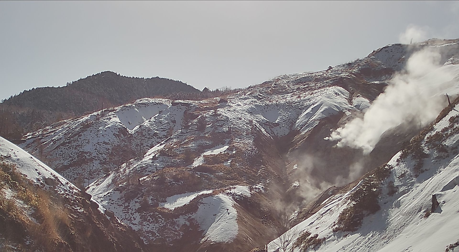
This official Ministry of the Environment image looks from Manza Nature Center toward the Karabuki volcanic terrain and surrounding sky. It can provide visual context for the mountain landscape and remaining snow before a Manza Onsen visit.
See the mountains around Higashidateyama's upper gondola station in Shiga Kogen. The tourism association's official page links to the resort operator's camera.
Jigokudani Yaen-koen publishes updated photographs around its monkey-only outdoor hot spring. Check the live-camera section and update time on the official homepage.
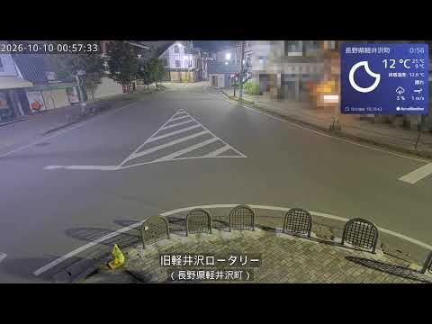
Karuizawa Town's official camera shows the rotary at the entrance to the old Ginza shopping street. It helps visitors check local conditions before exploring the historic district.
Karuizawa Town's official camera shows Kumoba Pond and nearby trees, useful for checking weather and seasonal autumn foliage. Colour timing varies each year, and the view does not represent crowding along the entire walking trail.

 External preview restricted · check the official source