This camera looks toward Suruga Bay from the top of Jukkoku Pass. For Mount Fuji, open the other camera at the summit. This is not a close-up coastal view, and the map pin only marks the approximate summit facility.
Source type
Official YouTube source
Preview on this page
YouTube video preview
Link status
Check the official page
Live status
Check at source
Link last checked
29 Sept 2026, 20:46 JST
Local weather
Shizuoka · Conditions at the camera site may differ.
What does this camera show?
Choose this direction for the distant Suruga Bay outlook from Jukkoku Pass, separate from the Fuji-centered view.
YouTube video. The link opens the operator’s YouTube video. Check the Live badge and broadcast date to distinguish a live stream from a recording.
Compare the view at Jukkoku Pass Summit Suruga Bay View
A camera pin is not always a place to visit
The pin marks the camera facility or a documented reference point. Some cameras are on hotel roofs or broadcast buildings that visitors cannot enter. Check the entrance to the place you actually plan to visit.
The closest station by coordinates is Jikkokutogesancho Station, 0.0 km from the camera reference point in a straight line. This is not a verified walking route or recommended access station. Check the visitor destination and its official access information.
The map also shows rail lines serving Jikkokutogesancho Station. The distance above is a straight line, not a walking time. Check the actual entrance and route below.
The closest station in a straight line may not be the easiest way in. The route also ends at the camera reference point, so change it to the place you actually plan to visit. Check buses, journey time and first or last trains in the route results.
Nearby cameras
Distances are straight lines between camera reference points, not actual journey distances or times.
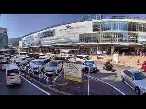
Atami City's camera shows the station square, including vehicles and pedestrians passing through. It cannot tell you about bus service or conditions inside the station.
The Hakone Tourist Association's camera covers the road and pedestrian approach near Yumoto Station, a gateway to the hot-spring area. It does not show bathing areas or the entire onsen town.
Periodically updated JMA images show Owakudani's volcanic landscape and visibility. This is not continuous video, and fog or steam may obscure the view.
The park provides updated photographs from its summit area toward Mount Fuji and Suruga Bay. These are not continuous video; cloud and fog may obscure the mountains.
Minamiashigara City and Hakone Tourist Association link to this official camera at Kintaro Chaya on Mount Kintoki. Open the original page for summit-area mountain scenery.


 YouTube · Video thumbnail · check live status at source