Conditions at the center may differ from higher terrain. People in the frame do not confirm that every lift is running; check the day’s operating report.
The map also shows rail lines serving Otaruchikko Station. The distance above is a straight line, not a walking time. Check the actual entrance and route below.
The closest station in a straight line may not be the easiest way in. The route also ends at the camera reference point, so change it to the place you actually plan to visit. Check buses, journey time and first or last trains in the route results.
Nearby cameras
Distances are straight lines between camera reference points, not actual journey distances or times.
This camera shows the base area at Sapporo Kokusai Ski Resort. Depending on the season, you’ll see winter snow or the forest around the autumn sightseeing gondola.
The ropeway shares views over Otaru from the summit observation area. Select the current broadcast on its official channel; the spring view may include the Tengu cherry tree.
From Hiyoriyama Lighthouse in Otaru’s Shukutsu district, the camera looks out over the sea and sky. You can see the coast around the lighthouse before exploring the area.
Look across Sapporo from STV's camera at the Okurayama Ski Jump Stadium summit observatory. This seasonal camera may pause or change direction, including for winter anti-icing measures.
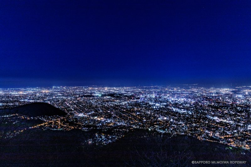
The official still image, updated every ten minutes, shows the area around Mount Moiwa’s summit elevation sign. The introductory image on this page is not a current view.

 No on-site preview · check the official source