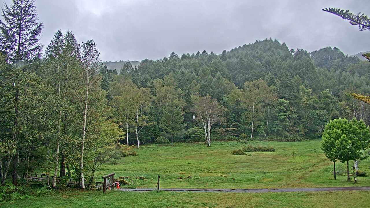
This official Ministry of the Environment image looks from Norikura Kogen toward Mount Norikura and the surrounding forest. It can provide context for cloud and remaining snow before a highland or mountain-view visit. A visible road or slope does not establish bus, road or trail access; consult official transport and hiking notices.
Source type
Official camera page
Preview on this page
Still-image preview · check its timestamp at the source
Link status
Check the official page
Live status
Check at source
Image capture time
Capture time unavailable
Link last checked
Connection check time unavailable
Local weather
Nagano · Forecast for the reference city; conditions at the camera may differ.
Loading weather...
What does this camera show?
Look at the boundary between Mount Norikura’s ridges and forest before a highland visit, noting seasonal snow or color with the capture time.
Official page · still preview. This is a still-image preview, not continuous video. Check the official page for its capture time and any video feed.
If the image has not changed, check its source timestamp or service notice. This site’s preview refresh alone does not establish whether the camera is operating.
The map also shows rail lines serving Shinshimashima Station. The distance above is a straight line, not a walking time. Check the actual entrance and route below.
The closest station in a straight line may not be the easiest way in. The route also ends at the camera reference point, so change it to the place you actually plan to visit. Check buses, journey time and first or last trains in the route results.
Nearby cameras
Distances are straight lines between camera reference points, not actual journey distances or times.
The official ropeway camera shows the Northern Alps from the summit observatory at Nishihotakaguchi Station. Clouds and seasons affect mountain, snow and autumn views.

 YouTube · Not live video
