Sapporo Kokusai Ski Resort Base
Sapporo Kokusai's base area and forest around the gondola
- Source
- Sapporo Resort Development Corporation
- Format
- YouTube video
 JapanLiveNowLIVE
札幌国際スキー場 山麓
 No on-site preview · check the official source
This camera shows the base area at Sapporo Kokusai Ski Resort. Depending on the season, you’ll see winter snow or the forest around the autumn sightseeing gondola.
Sapporo · Conditions at the camera site may differ.
The camera shows the base area and woodland around the gondola at Sapporo Kokusai. The scene changes from winter snow to autumn colors in the forest.
YouTube video. The link opens the operator’s YouTube video. Check the Live badge and broadcast date to distinguish a live stream from a recording.
The resort sits at a different elevation and location from central Sapporo. Clear city skies do not guarantee the same weather on the mountain.
If the stream has ended or will not play, look for a newer broadcast on the operator’s channel.
Operator and source information ↗
Camera travel guide updated:
Report an error or ended video for this camera · Our editorial standards
| Camera | What it shows | Open source |
|---|---|---|
| Sapporo Kokusai Ski Resort Base | Sapporo Kokusai's base area and forest around the gondola | YouTube video ↗ |
| Sapporo Station platform area | Sapporo Station's platform canopy and tracks | Official camera page ↗ |
| Sapporo Odori Park | Odori Park and the surrounding cityscape in Sapporo | Official camera page ↗ |
The pin marks the camera facility or a documented reference point. Some cameras are on hotel roofs or broadcast buildings that visitors cannot enter. Check the entrance to the place you actually plan to visit.
The closest station by coordinates is Zenibako Station, 10.1 km from the camera reference point in a straight line. This is not a verified walking route or recommended access station. Check the visitor destination and its official access information.
Sapporo Kokusai's base area and forest around the gondola
Sapporo Station's platform canopy and tracks
Odori Park and the surrounding cityscape in Sapporo
Central Sapporo and Odori Park
Sapporo from the Okurayama summit observatory
Sapporo's cityscape from the rooftop of STV headquarters
Camera facility location · 43.07223, 141.08278
The map also shows rail lines serving Zenibako Station. The distance above is a straight line, not a walking time. Check the actual entrance and route below.
The closest station in a straight line may not be the easiest way in. The route also ends at the camera reference point, so change it to the place you actually plan to visit. Check buses, journey time and first or last trains in the route results.
Distances are straight lines between camera reference points, not actual journey distances or times.
No on-site preview · check the official sourceHokkaido
キロロ マウンテンセンター前
The camera at Kiroro’s Mountain Center looks over the ski area’s base, with the surrounding sky and winter scenery in view.
About 7.6 km · straight line
Kiroro Resort
Watch on YouTubeNo on-site preview · check the official sourceHokkaido
小樽天狗山 屋上展望台
The ropeway shares views over Otaru from the summit observation area. Select the current broadcast on its official channel; the spring view may include the Tengu cherry tree.
About 14.4 km · straight line
Otaru Tenguyama Ropeway
Open YouTube channelExternal preview restricted · check the official sourceHokkaido
小樽運河 ホテルノルド小樽(STV)
STV's camera at Hotel Nord Otaru shows the streets and sky around Otaru Canal. Take a look at the canal-side setting before a walk.
About 15.6 km · straight line
Sapporo Television Broadcasting (STV)
Open official cameraExternal preview restricted · check the official sourceHokkaido
大倉山ジャンプ競技場 山頂展望台
Look across Sapporo from STV's camera at the Okurayama Ski Jump Stadium summit observatory. This seasonal camera may pause or change direction, including for winter anti-icing measures.
About 16.7 km · straight line
Sapporo Television Broadcasting (STV)
Open official cameraHokkaido
日和山灯台
From Hiyoriyama Lighthouse in Otaru’s Shukutsu district, the camera looks out over the sea and sky. You can see the coast around the lighthouse before exploring the area.
About 19.3 km · straight line
Japan Coast Guard
Open official camera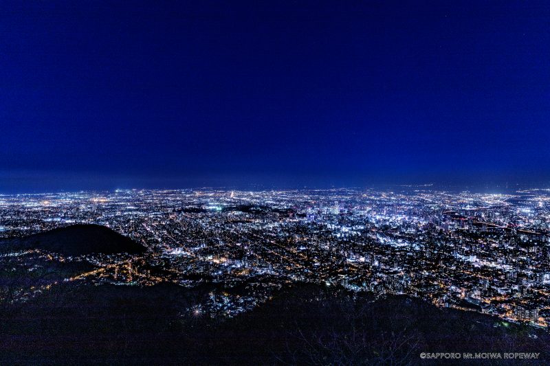 Not live video
Hokkaido
もいわ山山頂 標高看板前
The official still image, updated every ten minutes, shows the area around Mount Moiwa’s summit elevation sign. The introductory image on this page is not a current view.
About 20.3 km · straight line
Sapporo Development Corporation — Mount Moiwa Ropeway
Open official camera