Shizuoka Prefecture's civil engineering office provides this coastal camera in the Miho area, north of groyne No. 1. It is not a close-up of the Hagoromo pine and does not guarantee a Mount Fuji view or safe swimming conditions. The map marks the approximate facility vicinity, not a verified camera mount.
Source type
Official YouTube source
Preview on this page
YouTube video preview
Link status
Check the official page
Live status
Check at source
Link last checked
29 Sept 2026, 20:46 JST
Local weather
Shizuoka · Conditions at the camera site may differ.
What does this camera show?
Use the civil-engineering office view for Miho’s beach north of the first groyne, focusing on shore and sea.
YouTube video. The link opens the operator’s YouTube video. Check the Live badge and broadcast date to distinguish a live stream from a recording.
The pin marks the camera facility or a documented reference point. Some cameras are on hotel roofs or broadcast buildings that visitors cannot enter. Check the entrance to the place you actually plan to visit.
The closest station by coordinates is Shinshimizu Station, 4.0 km from the camera reference point in a straight line. This is not a verified walking route or recommended access station. Check the visitor destination and its official access information.
The map also shows rail lines serving Shinshimizu Station. The distance above is a straight line, not a walking time. Check the actual entrance and route below.
The closest station in a straight line may not be the easiest way in. The route also ends at the camera reference point, so change it to the place you actually plan to visit. Check buses, journey time and first or last trains in the route results.
Nearby cameras
Distances are straight lines between camera reference points, not actual journey distances or times.
See Mount Fuji and the surrounding landscape from Nihondaira Yume Terrace. The observatory lists a 24-hour live camera; check the source page to confirm the stream is currently available.
See Mount Fuji from the roof of Shizuoka's Mount Fuji World Heritage Centre. The source updates still images about every ten minutes, rather than providing continuous video; check the capture time.
See Mount Fuji in still images from Fujinomiya City Hall. The city's official page lets you compare the latest capture with earlier images from the same day.
The park provides updated photographs from its summit area toward Mount Fuji and Suruga Bay. These are not continuous video; cloud and fog may obscure the mountains.
This official Ministry of the Environment image shows Lake Tanuki and the direction of Mount Fuji from its Shizuoka-side shore. Visibility depends on cloud and capture time.

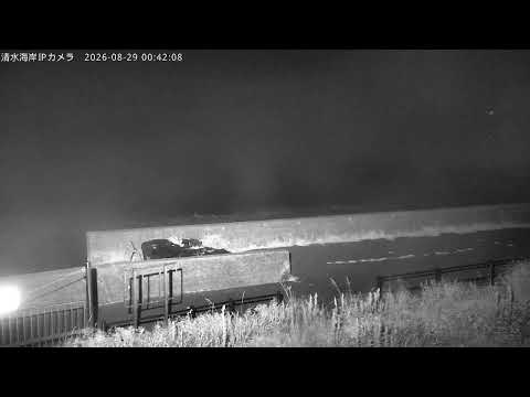
 YouTube · Video thumbnail · check live status at source