
Kyoto Philosopher’s Path North End
Northern end of the Philosopher's Path
- Source
- Kyoto City Tourism Association
- Format
- Operator camera page
Find camera views of forests and mountains near Japan’s autumn foliage spots. The trees may be outside a camera’s frame; check its view and timestamp alongside local foliage updates.
Foliage at a high viewpoint may differ from that beside a lake in the same area. Pick a camera that actually includes the place you plan to visit.
Northern end of the Philosopher's Path
Area around the north end of Togetsukyo Bridge
Odori Park and the surrounding cityscape in Sapporo
Kujo Pond and Shusuitei teahouse in Kyoto Gyoen
Chidorigafuchi moat and its cherry-lined promenade
The slopes and mountain town at Kamisenbon on Mount Yoshino
 YouTube · Preview loading failed
Kyoto
哲学の道
The Kyoto City Tourism Association camera faces the northern end of Philosopher's Path. Before a blossom or autumn walk, check the operator's page for a current stream and its broadcast date.
Kyoto City Tourism Association
Open the operator’s camera page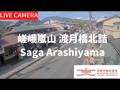 YouTube · Video thumbnail · check live status at source
Kyoto
嵐山
Check the area around Togetsukyo Bridge from the tourism association's camera at its north end in Arashiyama. The map pin marks the camera site, not the middle of the bridge.
Kyoto City Tourism Association
Watch on YouTubeExternal preview restricted · check the official sourceHokkaido
札幌大通公園(STV)
STV’s camera views Odori Park and central Sapporo from a building south of the park. Its direction can change; open STV’s page for the current image and separate live-video link.
Sapporo Television Broadcasting (STV)
Open official camera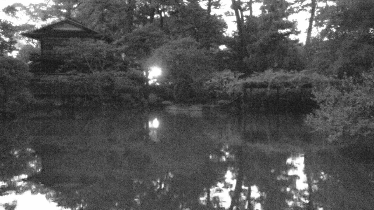 Periodically updated image · 29/09, 19:00 JST
Kyoto
京都御苑(九條家の遺構・拾翠亭)
See Kujo Pond and the area around Shusuitei in Kyoto Gyoen in still images from the Ministry of the Environment. The garden image normally updates about once an hour, so check its timestamp.
Ministry of the Environment, Japan
Open official cameraNo on-site preview · check the official sourceTokyo
千鳥ヶ淵 ボート場屋上ライブカメラ
The boathouse rooftop camera shows Chidorigafuchi's moat and cherry-lined path. Bloom dates vary each year, so check the broadcast date on the official video.
Chiyoda Tourism Association
Open YouTube channel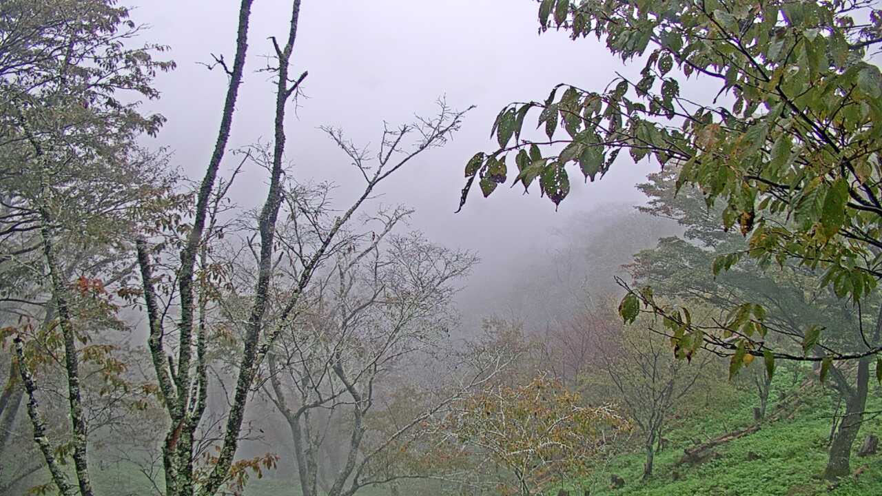 Periodically updated image · 29/09, 12:00 JST
Nara
吉野山上千本から望む吉野桜と町並み
See the slopes and village around Kamisenbon on Mount Yoshino, known for its spring cherry blossoms. The Ministry of the Environment's still images normally update hourly rather than showing continuous video.
Ministry of the Environment, Japan
Open official cameraNo on-site preview · check the official sourceFukushima
会津東山温泉 向瀧 中庭
See the pond and courtyard garden at Mukaitaki, a traditional inn in Aizu Higashiyama Onsen. The camera shows the outdoor garden through the seasons, not bathing areas.
Aizu Higashiyama Onsen Mukaitaki
Watch on YouTube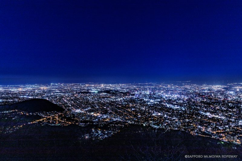 Not live video
Hokkaido
もいわ山山頂 標高看板前
The official still image, updated every ten minutes, shows the area around Mount Moiwa’s summit elevation sign. The introductory image on this page is not a current view.
Sapporo Development Corporation — Mount Moiwa Ropeway
Open official cameraNo on-site preview · check the official sourceYamanashi
河口湖 大石公園
See Lake Kawaguchiko and the view toward Mount Fuji from Oishi Park. These are updated images, not continuous video; check the source timestamp.
Cable Television Kawaguchiko
Open official cameraNo on-site preview · check the official sourceYamanashi
河口湖 富士山パノラマロープウェイ 展望台
The Mt. Fuji Panoramic Ropeway offers an official 4K live camera view from its upper observatory. Check the mountain outlook before a ride or walk on Mount Tenjo, and confirm stream availability on the official page.
Mt. Fuji Panoramic Ropeway
Watch on YouTubeNo on-site preview · check the official sourceHokkaido
大通ビッセ屋上からの札幌
HBC’s camera looks out over Odori Park and central Sapporo from the rooftop of Odori Bisse. The view can change for broadcast coverage, and image updates may pause.
Hokkaido Broadcasting (HBC)
Open official cameraExternal preview restricted · check the official sourceHokkaido
大倉山ジャンプ競技場 山頂展望台
Look across Sapporo from STV's camera at the Okurayama Ski Jump Stadium summit observatory. This seasonal camera may pause or change direction, including for winter anti-icing measures.
Sapporo Television Broadcasting (STV)
Open official cameraNo on-site preview · check the official sourceOkayama
備中松山城雲海展望台
From Takahashi City's cloud viewpoint, see Bitchu Matsuyama Castle and the surrounding hills in Okayama. The camera is available from 4 a.m. to 11 p.m.
Takahashi City
Open YouTube channelNo on-site preview · check the official sourceKyoto
金閣寺 境内ライブカメラ
The official Kinkaku-ji website provides still images of the temple grounds. They update every three minutes rather than showing continuous video.
Kinkaku-ji — Shokoku-ji Temple Group
Open official cameraNo on-site preview · check the official sourceKyoto
銀閣寺 境内ライブカメラ
The official Ginkaku-ji website provides still images of the temple grounds, updated every three minutes. Unlike the Ginkaku-ji approach camera, this view is inside the grounds.
Ginkaku-ji — Shokoku-ji Temple Group
Open official cameraNo on-site preview · check the official sourceHyogo
六甲山ビジターセンター ライブカメラ
Rokkosan Visitor Center links to an official live camera showing the mountain. Check the sky and surroundings before heading uphill, and confirm stream availability on the source page.
Hyogo Prefectural Rokkosan Visitor Center
Open YouTube channelNo on-site preview · check the official sourceAkita
田沢湖 たつこ像
Semboku City's tourism page links to the official Lake Tazawa feed. The map pin is an approximate reference near the Tatsuko statue, not a verified camera location.
City of Semboku
Open YouTube channelNo on-site preview · check the official sourceAkita
角館 武家屋敷通り
Semboku City's camera shows Kakunodate's samurai district and the trees along its streets. For cherry blossoms or autumn color, check the official video's live label and broadcast date.
City of Semboku
Open YouTube channel YouTube · Video thumbnail · check live status at source
Fukushima
大内宿
Shimogo Town's camera shows Ouchi-juku's street of thatched-roof houses. It gives you a look at this historic post town before you visit.
Shimogo Town
Watch on YouTube YouTube · Video thumbnail · check live status at source
Fukushima
塔のへつり
Shimogo Town's camera shows the rock formations and riverside at To-no-hetsuri. Take a look at the gorge scenery before your visit.
Shimogo Town
Watch on YouTube YouTube · Video thumbnail · check live status at source
Fukushima
観音沼森林公園
Shimogo Town's camera shows the pond and woodland at Kannon-numa Forest Park, where the scenery changes with the seasons.
Shimogo Town
Watch on YouTube YouTube · Video thumbnail · check live status at source
Ishikawa
金沢 兼六園
Kanazawa City's official video shows Kenrokuen Garden. If you are visiting for flowers or autumn foliage, check what is actually in frame.
City of Kanazawa
Watch on YouTubeNo on-site preview · check the official sourceGifu
白川郷 合掌集落
See Shirakawa-go through Shirakawa Village's official camera. Images may be intentionally blurred to protect residents' privacy; we do not remove the blur or alter the source images.
Shirakawa Village
Open official camera YouTube · Video thumbnail · check live status at source
Yamagata
蔵王 樹氷高原駅
See the area around Juhyo Kogen, an intermediate station on the Zao Ropeway, through the official camera.
Zao Ropeway Association
Watch on YouTubeNo on-site preview · check the official sourceIwate
盛岡城跡公園 ライブカメラ
Look toward Morioka Castle Park through the Morioka Tourism and Convention Association's camera. The map pin is an approximate reference near the central fire station named in the official description.
Morioka Tourism and Convention Association
Open official camera Periodically updated image · 29/09, 20:00 JST
Nagano
乗鞍高原からみた乗鞍岳
This official Ministry of the Environment image looks from Norikura Kogen toward Mount Norikura and the surrounding forest. It can provide context for cloud and remaining snow before a highland or mountain-view visit.
Ministry of the Environment Biodiversity Center
Open official cameraNo source preview provided · check the official sourceNara
曽爾高原(お亀池)
The broadcaster's official camera overlooks Okame Pond and the grassland at Soni Highland. Check visibility and the seasonal scenery before a walk.
Komadori Cable
Open official cameraNo source preview provided · check the official sourceNara
天川村 みたらい渓谷
The broadcaster's official camera shows Mitarai Valley. Check the valley scenery here, and consult local notices for access and river conditions.
Komadori Cable
Open official cameraNo on-site preview · check the official sourceSaitama
長瀞岩畳
The Nagatoro Tourism Association posts updated photos of the Iwadatami rock formations and riverside. Check the capture time on the official page before using the view to plan a visit.
Nagatoro Tourism Association
Open official cameraNo on-site preview · check the official sourceSaitama
宝登山神社ロータリー
The Nagatoro Tourism Association posts updated photos near the approach to Hodosan Shrine. The turning area and nearby trees are in frame; check the capture time on the official page.
Nagatoro Tourism Association
Open official cameraNo source preview provided · check the official sourceTochigi
霧降高原キスゲ平園地
Open the Natural Parks Foundation’s official live channel for Kirifuri Kisugedaira. Preview the highland setting and check current broadcast availability there.
Natural Parks Foundation, Nikko Branch
Open YouTube channelExternal preview restricted · check the official sourceHokkaido
十勝岳温泉 東側・西側
Kamifurano provides east- and west-facing photographs around Tokachidake Onsen at roughly five-minute intervals. Select a direction on the official page.
Town of Kamifurano
Open official cameraNo on-site preview · check the official sourceMiyagi
せんだいメディアテーク 定禅寺通り
Sendai Mediatheque publishes updated views of Jozenji Street toward the Bansui Street intersection. The official page also has a separate view of the building exterior.
Sendai Mediatheque
Open official cameraNo on-site preview · check the official sourceIwate
見返峠 八幡平アスピーテライン
Iwate Prefecture's road camera shows Mikaeri Pass, an approach to Hachimantai's summit walking trails. Check snow cover and visibility near the pass; the Dragon Eye pond is outside the frame.
Iwate Prefecture Road Environment Division
Open official cameraNo on-site preview · check the official sourceAomori
弘前公園 追手門前
Hirosaki city provides a camera at the Otemon entrance to Hirosaki Park. Select the Otemon camera on the official page for the gate area and seasonal scenery, rather than the separate castle-keep view.
City of Hirosaki
Open official cameraNo on-site preview · check the official sourceAkita
千秋公園 中土橋周辺
Akita City streams the moat and Nakadobashi area of Senshu Park from the rooftop of Nigiwai Koryukan AU. View the seasonal waterside and nearby Milhas nightscape.
Akita City Tourism Promotion Division
Open official camera YouTube · Video thumbnail · check live status at source
Akita
寒風山回転展望台
Kanpuzan Observatory shares its view towards Funakawa in Oga on its official YouTube feed. Check visibility over the hillside and towards the coast.
Kanpuzan Observatory / Akita Chuo Kotsu
Watch on YouTubeNo on-site preview · check the official sourceYamagata
銀山荘 4階屋外ライブカメラ
Ginzanso provides an outdoor camera from its fourth floor. Select “銀山荘4階屋外” near the bottom of the official website to open the older HTTP viewer.
Ginzanso
Open official camera YouTube · Video thumbnail · check live status at source
Yamagata
肘折温泉 そば処寿屋
The official Hijiori tourism site links to Kotobukiya's camera. It shows outdoor scenery near the Dozan River in the onsen village, so you can check for snow.
Hijiori Onsen Soba Kotobukiya
Watch on YouTubeNo on-site preview · check the official sourceFukushima
絶景・猪苗代スキー場
Inawashiro Ski Resort links to this official live-camera channel. Select an available view of the slopes or lake-facing scenery there.
Inawashiro Ski Resort / DMC Aizu
Open YouTube channel YouTube · Video thumbnail · check live status at source
Ibaraki
筑波山 女体山頂駅からの眺め
Tsukuba City’s official camera looks toward the Kanto Plain from the ropeway station just below Nyotai’s summit. Check the weather and distant views; clouds or fog can obscure the panorama.
Tsukuba City Tourism Promotion Division
Watch on YouTube YouTube · Video thumbnail · check live status at source
Ibaraki
筑波山梅林 上部
Tsukuba City’s official camera looks uphill from the middle of the plum grove. See the grove during plum-blossom season and check its weather year-round.
Tsukuba City Tourism Promotion Division
Watch on YouTubeNo on-site preview · check the official sourceIbaraki
袋田の滝
Daigo Town provides this camera of Fukuroda Falls and its seasonal surroundings. Open the separate viewer from the official information page.
Daigo Town
Open official cameraNo on-site preview · check the official sourceIbaraki
月待の滝
Daigo Town links to this camera at Tsukimachi Falls near Momijien. Check the waterfall and its seasonal scenery using the separate HTTP viewer on the official page.
Daigo Town
Open official cameraNo on-site preview · check the official sourceIbaraki
大円地山荘からの奥久慈男体山
Daigo Town provides this view toward Okukuji Mount Nantai from near Oenji Sanso at the mountain’s foot, not from the summit. The marker approximates the lodge and trailhead vicinity.
Daigo Town
Open official cameraNo on-site preview · check the official sourceTochigi
日光 神橋
Nikko’s tourism association links to Futarasan Shrine’s camera at Shinkyo. Check regularly updated pictures of the red bridge and Daiya River surroundings.
Nikko Futarasan Shrine
Open official camera YouTube · Video thumbnail · check live status at source
Tochigi
日光二荒山神社 中宮祠
Nikko’s tourism association links to the official YouTube camera at Futarasan Shrine Chugushi on Lake Chuzenji’s north shore. Check scenery and weather around this shrine.
Nikko Futarasan Shrine
Watch on YouTubeNo on-site preview · check the official sourceTochigi
男体山山頂・二荒山神社奥宮
Futarasan Shrine provides this Mount Nantai summit camera, listed by Nikko’s tourism association. Select 男体山山頂 on the official list for updated pictures.
Nikko Futarasan Shrine
Open official cameraNo on-site preview · check the official sourceTochigi
ホテル湖上苑からの中禅寺湖
Nikko’s tourism association links to Hotel Kojoen’s official channel for a view of Lake Chuzenji. Select an active broadcast.
Hotel Kojoen
Open YouTube channelNo on-site preview · check the official sourceGunma
湯の小屋温泉 清流の宿たむら
Minakami's tourism association recommends Seiryu no Yado Tamura's official camera channel. It shows outdoor scenery around the inn in Yunokoya Onsen.
Seiryu no Yado Tamura
Open YouTube channel YouTube · Video thumbnail · check live status at source
Gunma
ほうだいぎスキー場 ファミリーゲレンデ
Hodaigi Ski Resort’s official camera looks toward the main slopes and the boarding areas for lifts 6 and 8. Check seasonal slope scenery and snow.
Hodaigi Ski Resort
Watch on YouTubeNo on-site preview · check the official sourceGunma
谷川岳天神平 Mt.T
Tanigawadake Joch and Mt.T’s current official conditions page links to this camera channel. Select an available broadcast for Tenjindaira slope and lift-area scenery.
Tanigawadake Joch / Mt.T
Open YouTube channelNo on-site preview · check the official sourceGunma
鳩待峠からの至仏山
The Oze Preservation Foundation links to Tokyo Power Technology's periodically updated photographs. Select 鳩待峠 on the original page for the view toward Mount Shibutsu, normally updated every ten minutes.
Tokyo Power Technology
Open official cameraNo on-site preview · check the official sourceNiigata
東電小屋からの尾瀬ヶ原
Tokyo Power Technology’s official Toden Hut camera is linked by the Oze Preservation Foundation. Select 東電小屋 for periodic photographs of Ozegahara toward Mount Shibutsu, normally updated every ten minutes.
Tokyo Power Technology
Open official cameraNo on-site preview · check the official sourceTokyo
六義園 しだれ桜・心泉亭
Tokyo Metropolitan Park Association provides periodically refreshed photographs of Rikugien’s weeping cherry and Shinsentei surroundings.
Tokyo Metropolitan Park Association
Open official cameraExternal preview restricted · check the official sourceKanagawa
金時山山頂 金太郎茶屋
Minamiashigara City and Hakone Tourist Association link to this official camera at Kintaro Chaya on Mount Kintoki. Open the original page for summit-area mountain scenery.
Minamiashigara City
Open official cameraNo on-site preview · check the official sourceNiigata
妙高高原スカイケーブル スカイテラス
The official Myoko Kogen Sky Cable website links to periodic images from Sky Terrace near its upper station. Open スカイテラス ライブカメラ to check the highland scenery and capture time.
Myoko Kogen Sky Cable
Open official cameraNo on-site preview · check the official sourceNiigata
湯沢高原 パノラマパーク
Yuzawa Kogen's official page provides two periodic views: in front of the Edelweiss panorama restaurant toward Minamiuonuma, and near the upper ropeway Panorama Station toward Mount Omine. Select the views on the original page.
Yuzawa Kogen Ski Resort / Panorama Park
Open official cameraNo on-site preview · check the official sourceToyama
黒部ダム 展望台ライブカメラ
The official Kurobe Dam page provides periodic dam and mountain views approximately every 60 seconds. Its stated camera season is April 15–November 30, with sightseeing discharge June 26–October 15.
Kansai Electric Power / Kurobe Dam Official Site
Open official cameraExternal preview restricted · check the official sourceToyama
五箇山 相倉合掌造り集落
Nanto City's tourism camera provides periodic views of the World Heritage Ainokura gassho village and nearby terraced fields. The visible scene depends on the original camera's selected direction.
Nanto City
Open official cameraExternal preview restricted · check the official sourceToyama
五箇山 菅沼合掌造り集落
Nanto City's tourism camera shows the World Heritage Suganuma gassho village in periodic images. The marker uses the city's mapped Niter Museum area within the village as an approximate reference.
Nanto City
Open official cameraExternal preview restricted · check the official sourceToyama
庄川峡ダム湖 ゆ~楽
Nanto City's periodic camera looks over the Shogawa gorge reservoir and mountains from Yuraku Onsen. Depending on the selected direction, the original shows upstream, downstream or mountain scenery, not the bathing area.
Nanto City
Open official cameraNo on-site preview · check the official sourceToyama
庄川峡遊覧船 小牧乗り場
Tonami City's camera offers selectable views around the Shogawa Gorge cruise landing, including boarding and ticketing areas. Autumn foliage and winter scenery vary seasonally.
Tonami City
Open official cameraExternal preview restricted · check the official sourceIshikawa
金沢城公園 玉泉院丸庭園
Ishikawa Prefecture's official camera covers Gyokuseninmaru Garden at Kanazawa Castle, a separate garden from Kenrokuen. Seasonal planting, pond and stone-wall scenery vary with conditions and framing.
Ishikawa Prefecture Parks and Green Spaces Division
Watch on YouTubeNo on-site preview · check the official sourceYamanashi
昇仙峡ロープウェイ山頂 荒川ダム・能泉湖
The Shosenkyo Tourism Association posts a photo every ten minutes from the ropeway summit toward Nosen Lake and Arakawa Dam. For Mount Fuji, use its other summit camera.
Shosenkyo Tourism Association
Open official camera YouTube · Video thumbnail · check live status at source
Nagano
雲場池
Karuizawa Town's official camera shows Kumoba Pond and nearby trees, useful for checking weather and seasonal autumn foliage. Colour timing varies each year, and the view does not represent crowding along the entire walking trail.
Karuizawa Town
Watch on YouTubeNo on-site preview · check the official sourceNagano
戸隠鏡池
Togakushi Tourism Association publishes periodic images, normally every ten minutes. Donguri House overlooks Kagami Pond toward the mountains.
Togakushi Tourism Association
Open official camera YouTube · Video thumbnail · check live status at source
Gifu
新穂高ロープウェイ 西穂高口駅
The official ropeway camera shows the Northern Alps from the summit observatory at Nishihotakaguchi Station. Clouds and seasons affect mountain, snow and autumn views.
Shinhotaka Ropeway
Watch on YouTubeExternal preview restricted · check the official sourceMie
御在所ロープウエイ 山上公園駅
Periodically refreshed photographs from the roof of Gozaisho Ropeway's Summit Park Station. The operator describes one-minute updates during business hours and possible freezing in winter.
Gozaisho Ropeway
Open official camera YouTube · Video thumbnail · check live status at source
Wakayama
高野山 西南院 庭園
Sainanin temple on Koyasan provides this official garden live camera. It shows the rock garden and seasonal cherry blossoms, autumn colors or snow when present.
Koyasan Sainanin
Watch on YouTube YouTube · Video thumbnail · check live status at source
Oita
RECAMP別府志高湖
RECAMP Beppu Shidakako links to a lakeside camera from its official facility listing. It shows the lake and surrounding hills above Beppu.
RECAMP Beppu Shidakako
Watch on YouTubeNo on-site preview · check the official sourceKochi
中津渓谷
Niyodogawa Town's official camera shows the entrance to Nakatsu Gorge, with water, rocks and trees in still images updated every ten minutes. Look for 中津渓谷 on the official page.
Niyodogawa Town
Open official cameraNo on-site preview · check the official sourceKochi
安居渓谷
Niyodogawa Town's official camera shows Yasui Gorge, with water, rocks and trees in still images updated every ten minutes. Look for 安居渓谷 on the official page.
Niyodogawa Town
Open official cameraNo on-site preview · check the official sourceFukushima
桧原湖 北岸
The Urabandai Tourism Association provides periodically refreshed images of Lake Hibara's shore. The lake and surrounding mountains may be difficult to see at night or in poor weather.
Urabandai Tourism Association
Open official cameraNo on-site preview · check the official sourceYamagata
月山九合目・佛生池小屋からの風景
Busshoike Hut links to a camera near Mount Gassan's ninth station. The original offers photographs of the hut surroundings and the snowfield direction.
Gassan Busshoike Hut
Open official cameraNo on-site preview · check the official sourceTochigi
奥日光・湯滝レストハウスライブカメラ
This camera shows Yutaki Falls from the rest-house area below. The still image updates about every 15 minutes, though the falls may be hard to see at night.
Yutaki Rest House
Open official camera Periodically updated image · 29/09, 20:00 JST
Hokkaido
美幌峠からみた屈斜路湖
This periodically refreshed image looks down on Lake Kussharo from the Gurutto Panorama roadside station at Bihoro Pass. The lake, mist and surrounding mountains fill the view.
Ministry of the Environment Biodiversity Center
Open official camera Periodically updated image · 26/09, 15:00 JST
Hokkaido
サロベツ湿原センターからみたサロベツ湿原
The Sarobetsu Wetland Center camera looks out across the marsh. The wetland’s colors change with the seasons, with the sky above in view as well.
Ministry of the Environment Biodiversity Center
Open official camera Periodically updated image · 29/09, 20:00 JST
Hokkaido
幌延ビジターセンターからみたサロベツ湿原
From Horonobe Visitor Center, the camera looks over Naganuma and the surrounding Sarobetsu wetland. The landscape changes with the seasons.
Ministry of the Environment Biodiversity Center
Open official camera Periodically updated image · 29/09, 20:00 JST
Akita
発荷峠からみた十和田湖
This view looks out over Lake Towada from Hakka Pass Observatory in Kosaka, Akita. The colors of the surrounding forest change with the seasons.
Ministry of the Environment Biodiversity Center
Open official camera Periodically updated image · 29/09, 20:00 JST
Yamagata
羽黒町からみた月山遠望
The camera at Tsuruoka City’s Haguro branch office looks toward Mount Gassan. From this distance, you can see the mountain’s overall outline and seasonal changes.
Ministry of the Environment Biodiversity Center
Open official camera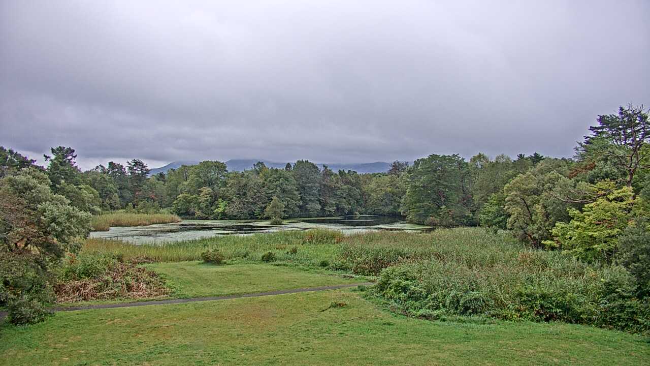 Periodically updated image · 29/09, 09:00 JST
Fukushima
裏磐梯レンゲ沼と磐梯山
The Renge-numa camera shows the pond and the view toward Mount Bandai in Urabandai. You can see the sky and seasonal scenery around the water before a walk.
Ministry of the Environment Biodiversity Center
Open official camera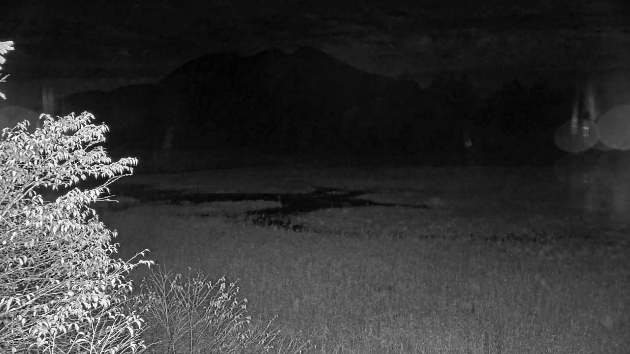 Periodically updated image · 29/09, 20:00 JST
Fukushima
尾瀬沼
This camera looks across Lake Oze-numa and the surrounding mountains from Hinoemata. It gives you a preview of the scenery before a wetland walk.
Ministry of the Environment Biodiversity Center
Open official camera Periodically updated image · 29/09, 20:00 JST
Tochigi
奥日光湯ノ湖
See Lake Yunoko and its surroundings in Oku-Nikko on the Ministry of the Environment camera. The lakeside scenery changes with the seasons.
Biodiversity Center of Japan, Ministry of the Environment
Open official camera Periodically updated image · 29/09, 20:00 JST
Kumamoto
南阿蘇からみた阿蘇山系の根子岳
The Ministry of the Environment camera looks toward Mount Nekodake in the Aso range from Minamiaso. It shows the ridgeline and sky, not Aso crater or Kusasenri.
Biodiversity Center of Japan, Ministry of the Environment
Open official camera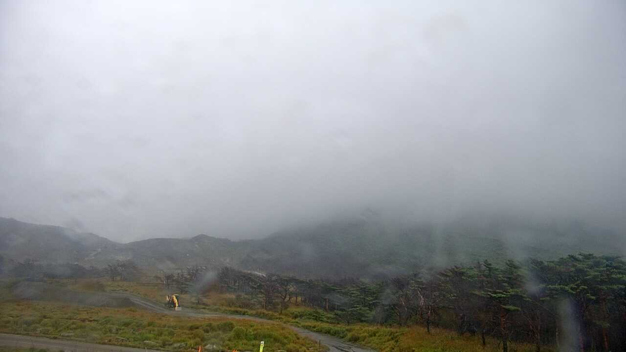 Periodically updated image · 29/09, 17:00 JST
Miyazaki
えびの高原からみた霧島連山
The Ministry of the Environment camera looks toward the Kirishima Mountains from Ebino Kogen, showing a landscape that changes with the seasons.
Biodiversity Center of Japan, Ministry of the Environment
Open official camera Periodically updated image · 29/09, 20:00 JST
Tottori
大山鏡ヶ成からみた烏ヶ山
From Kagamiganaru, the Ministry of the Environment camera shows Mount Karasugasen and the ridgeline of the Daisen highlands. It is a distant mountain view, not a trail camera.
Biodiversity Center of Japan, Ministry of the Environment
Open official camera Periodically updated image · 29/09, 20:00 JST
Kagawa
五色台からみた瀬戸内海
The Ministry of the Environment camera at Goshikidai looks down over the islands and coast of the Seto Inland Sea.
Biodiversity Center of Japan, Ministry of the Environment
Open official camera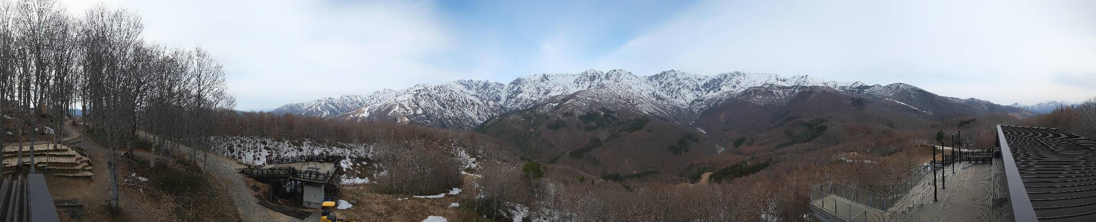 Periodically updated image
Nagano
白馬岩岳 HAKUBA MOUNTAIN HARBOR
Hakuba Iwatake Mountain Harbor's panoramic camera takes in the Northern Alps and the area around the summit terrace. See the wide mountain view and the deck surroundings together.
Iwatake Resort
Open official cameraNo on-site preview · check the official sourceHokkaido
第一展望台からみた摩周湖
This camera shows Lake Mashu from Teshikaga Town’s First Observatory. Depending on the mist, more or less of the lake may be visible.
Ministry of the Environment Biodiversity Center
Open official cameraNo on-site preview · check the official sourceHokkaido
大雪山旭岳
This is Mount Asahidake from Sugatami Station, the ropeway’s upper station. Depending on the season, you may see lingering snow or autumn color on the mountain.
Ministry of the Environment Biodiversity Center
Open official cameraNo on-site preview · check the official sourceHokkaido
ニセコビュープラザ 羊蹄山
The camera at Niseko View Plaza looks toward Mount Yotei and the surrounding sky. The mountain’s outline and seasonal changes are in view.
Niseko Resort Tourist Association
Watch on YouTubeNo on-site preview · check the official sourceHokkaido
ニセコアンヌプリ国際スキー場 山麓
This camera shows the base area at Niseko Annupuri International Ski Area. It covers the winter snowscape and the area around the sightseeing gondola in summer.
Chuo Bus Niseko Kanko Kaihatsu
Watch on YouTubeNo on-site preview · check the official sourceHokkaido
札幌国際スキー場 山麓
This camera shows the base area at Sapporo Kokusai Ski Resort. Depending on the season, you’ll see winter snow or the forest around the autumn sightseeing gondola.
Sapporo Resort Development Corporation
Watch on YouTubeNo on-site preview · check the official sourceIwate
安比リゾートセンター
The Appi Kogen Resort Center camera looks over the nearby slopes. It offers a view of the seasonal scenery before a ski day or sightseeing gondola ride.
Iwate Hotel and Resort
Watch on YouTubeNo on-site preview · check the official sourceToyama
立山室堂平
The Alpine Route’s Murodo camera shows the highland and surrounding ridges. For a walk or transfer there, use this view and check transport and trail notices with the operator.
Tateyama Kurobe Kanko
Open official cameraNo on-site preview · check the official sourceToyama
大観峰
This Alpine Route camera looks toward the mountains and ridges from Daikanbo. If you are stopping at Murodo, open its highland view separately.
Tateyama Kurobe Kanko
Open official cameraNo on-site preview · check the official sourceToyama
弥陀ヶ原
See the alpine scenery at Midagahara on the Tateyama Kurobe Alpine Route. Open the official camera page for this stop, which offers a different view from Murodo.
Tateyama Kurobe Kanko
Open official cameraNo on-site preview · check the official sourceToyama
黒部平
This camera shows the mountains from Kurobedaira on the Tateyama Kurobe Alpine Route. Open it if Kurobedaira is one of your stops.
Tateyama Kurobe Kanko
Open official camera YouTube · Video thumbnail · check live status at source
Nagano
白馬八方尾根 アルペンクワッド
See the mountains and resort from the upper station of Hakuba Happo's Alpen Quad lift. This higher view differs from the Usagidaira and gondola-base cameras below.
Hakuba Happo-One
Watch on YouTube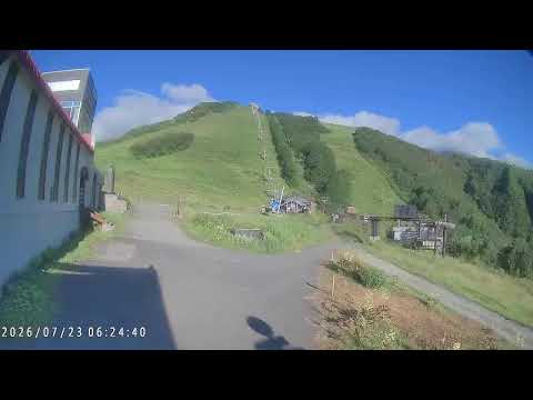 YouTube · Video thumbnail · check live status at source
Nagano
白馬八方尾根 うさぎ平
This camera shows the mountains and resort around Usagidaira at Hakuba Happo. It covers a different area from the Alpen Quad upper station and gondola base.
Hakuba Happo-One
Watch on YouTube YouTube · Video thumbnail · check live status at source
Nagano
白馬八方尾根 ゴンドラ乗り場
See the area around Hakuba Happo's gondola base, with the mountains beyond. Compare it with the upper-station camera for views from the lower and higher parts of the resort.
Hakuba Happo-One
Watch on YouTubeNo on-site preview · check the official sourceNagano
白馬山荘
This camera looks over the Northern Alps from Hakuba Sanso mountain hut. It shows the sky and ridges around the hut rather than the resort foothills.
Hakuba Tourism
Open official cameraNo on-site preview · check the official sourceNagano
五竜山荘 遠見尾根
This image looks toward Tomi Ridge from Goryu Sanso. It shows the mountains and clouds around the hut.
Hakuba Tourism
Open official cameraNo on-site preview · check the official sourceNagano
栂池ゴンドラリフト 栂の森駅
This camera shows the mountain surroundings at Tsuganomori, the upper gondola station at Tsugaike Kogen. It is separate from the ropeway station serving the nature park.
Tsugaike Mountain Resort
Open official cameraNo on-site preview · check the official sourceNagano
つがいけロープウェイ 自然園駅
See the upper ropeway station serving Tsugaike Nature Park and the surrounding mountains. Check the image and its timestamp when planning a highland walk.
Tsugaike Mountain Resort
Open official cameraNo on-site preview · check the official sourceNagano
千畳敷カール
From Hotel Senjojiki, this camera looks toward Senjojiki Cirque in the Central Alps. It shows a different alpine view from the camera facing the Southern Alps.
Chuo Alps Kanko
Open official cameraNo on-site preview · check the official sourceNagano
ホテル千畳敷 南アルプス側
This camera looks toward the distant Southern Alps from Hotel Senjojiki. For the cirque outside the hotel, open its Senjojiki Cirque camera instead.
Chuo Alps Kanko
Open official cameraNo on-site preview · check the official sourceNagano
上高地 河童橋
See Kappa Bridge and the Hotaka mountains through Gosenjaku Hotel’s camera. Compare its view with the Kamikochi Bus Terminal camera.
Gosenjaku Hotel Kamikochi
Open official camera YouTube · Video thumbnail · check live status at source
Nagano
上高地バスターミナル
View the Hotaka mountains across larch woodland from Kamikochi Bus Terminal. Open the official feed or compare the Kappa Bridge camera.
Natural Parks Foundation
Watch on YouTube YouTube · Video thumbnail · check live status at source
Yamanashi
新倉山浅間公園 富士山
The official camera at Arakurayama Sengen Park looks toward Mount Fuji from the observation deck and includes the surrounding park scenery.
Fujiyoshida Tourism Promotion Service
Watch on YouTubeNo on-site preview · check the official sourceYamanashi
FUJIYAMAツインテラス ファーストテラス
See Mount Fuji from First Terrace at FUJIYAMA Twin Terrace on Shindo Pass. Images usually update about every 30 minutes during daylight hours; check the capture time on the source page.
Fuefuki City Tourism and Commerce Division
Open official cameraNo on-site preview · check the official sourceNagano
志賀高原 東館山山頂
See the mountains around Higashidateyama's upper gondola station in Shiga Kogen. The tourism association's official page links to the resort operator's camera.
Shiga Kogen Resort Development
Open official cameraNo on-site preview · check the official sourceNagano
槍ヶ岳山荘
See the high-alpine scenery around Yarigatake Sanso, the hut below the summit. Images may stop updating because of weather or seasonal closures, so check the capture time.
Yarigatake Sanso Group
Open official cameraNo on-site preview · check the official sourceNagano
南岳小屋
This camera shows the Northern Alps around Minamidake Hut. If you are planning a hike, check the image timestamp and a separate mountain forecast.
Yarigatake Sanso Group
Open official cameraNo on-site preview · check the official sourceNagano
岳沢小屋
See the mountain scenery around Dakesawa Hut above Kamikochi. Before hiking, check the image timestamp alongside local mountain weather information.
Yarigatake Sanso Group
Open official cameraNo on-site preview · check the official sourceGifu
穂高岳山荘 東側カメラ
Hotakadake Sanso's east-facing camera looks toward Karasawa. It covers a different direction from the west-facing Shiradashizawa camera.
Hotakadake Sanso
Open official cameraNo on-site preview · check the official sourceGifu
穂高岳山荘 西側カメラ
Hotakadake Sanso's west-facing camera looks toward Shiradashizawa in Gifu. It shows the opposite side from the east-facing Karasawa camera.
Hotakadake Sanso
Open official cameraNo on-site preview · check the official sourceNiigata
松之山 キョロロの塔展望台
See the forest and rural landscape from Kyororo Tower in Matsunoyama. Tokamachi City updates the still images about every 15 minutes; check the capture time on the source page.
Tokamachi City
Open official cameraNo on-site preview · check the official sourceNiigata
三条 八木ヶ鼻
This official Sanjo City camera looks toward the Yagigahana cliffs from Iiyuratei hot-spring facility and shows the surrounding landscape.
Sanjo City
Open official cameraNo on-site preview · check the official sourceYamanashi
山中湖交流プラザきらら 富士山
From Community Plaza Kirara, look across Lake Yamanaka toward Mount Fuji. Switch between wide-angle and telephoto images on the official page to see how the framing changes.
Yamanakako Tourism Association
Open official cameraNo on-site preview · check the official sourceYamanashi
山中湖明神山パノラマ台
Myojinyama Panorama Deck offers an elevated view of Lake Yamanaka and Mount Fuji together. Open this view for the lake as seen from higher ground.
Yamanakako Tourism Association
Open YouTube channelNo on-site preview · check the official sourceYamanashi
忍野 しのびの里
The official camera at Oshino Shinobi no Sato looks toward Mount Fuji. Check the mountain and sky before visiting Oshino Hakkai, and confirm stream availability on the source page.
Oshino Shinobi no Sato
Watch on YouTube YouTube · Video thumbnail · check live status at source
Yamanashi
忍野村二十曲峠展望テラス SORA no IRO
The SORA no IRO terrace on Nijumagari Pass looks over Oshino village toward Mount Fuji. For a riverside view of Fuji, open the Omiyabashi still image instead.
Oshino Village
Watch on YouTubeCamera guide updated: