Japan Live Now / Hokkaido / Sarobetsu Wetland from Horonobe Visitor Center Official camera page · still preview Sarobetsu Wetland from Horonobe Visitor Center camera 幌延ビジターセンターからみたサロベツ湿原
Periodically updated image · 09/10, 20:00 JST From Horonobe Visitor Center, the camera looks over Naganuma and the surrounding Sarobetsu wetland. The landscape changes with the seasons.
Official source ↗ · Recorded source check: 9 September 2026 . This is the recorded source-check date, not a fresh check of the connection or broadcast.
Source type Official camera page
Preview on this page Still-image preview · check its timestamp at the source
Link status Check the official page
Camera information updated 2026-10-13 Sapporo · Conditions at the camera site may differ.
What does this camera show? Horonobe Visitor Center shows Naganuma and the wetland around it. For a wider view of open marsh and sky, use the Sarobetsu Wetland Center camera.
Official page · still preview. This is a still-image preview, not continuous video. Check the official page for its capture time and any video feed.
Visible scene Naganuma and the surrounding Sarobetsu wetland
Official operator Ministry of the Environment Biodiversity Center
Camera location Camera facility location · Hokkaido Open official camera ↗ What this view cannot tell you The pond-side view does not show the entire walking route. Check Horonobe Visitor Center information for the section you plan to visit.
Has the image stopped updating? If the image has not changed, check its source timestamp or service notice.
Operator and source information ↗
Camera information updated: 2026-10-13
Report an error or ended video for this camera · Our editorial standards
Compare views for this destination Camera location Camera facility location · 45.01024, 141.73099
Location source Nearest rail station Shimonuma Station 下沼
3.7 km straight lineCheck the route Walking time
The distance is a straight line, not a walking time. Check the actual entrance and route.
The closest station in a straight line may not be the easiest way in. The route also ends at the camera reference point, so change it to the place you actually plan to visit. Check buses, journey time and first or last trains in the route results.
Nearby cameras Distances are straight lines between camera reference points, not actual journey distances or times.
Periodically updated image · 04/10, 13:15 JST
サロベツ湿原センターからみたサロベツ湿原
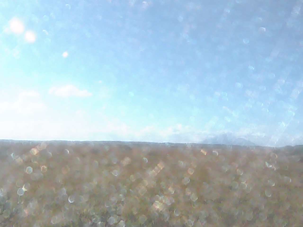
The Sarobetsu Wetland Center camera looks out across the marsh. The wetland’s colors change with the seasons, with the sky above in view as well.
About 11.4 km · straight line
Scenic places Mountains Autumn colors
Ministry of the Environment Biodiversity Center
Open official camera 
 Periodically updated image · 04/10, 13:15 JST