
Yoshinoyama Kamisenbon Cherry Blossoms
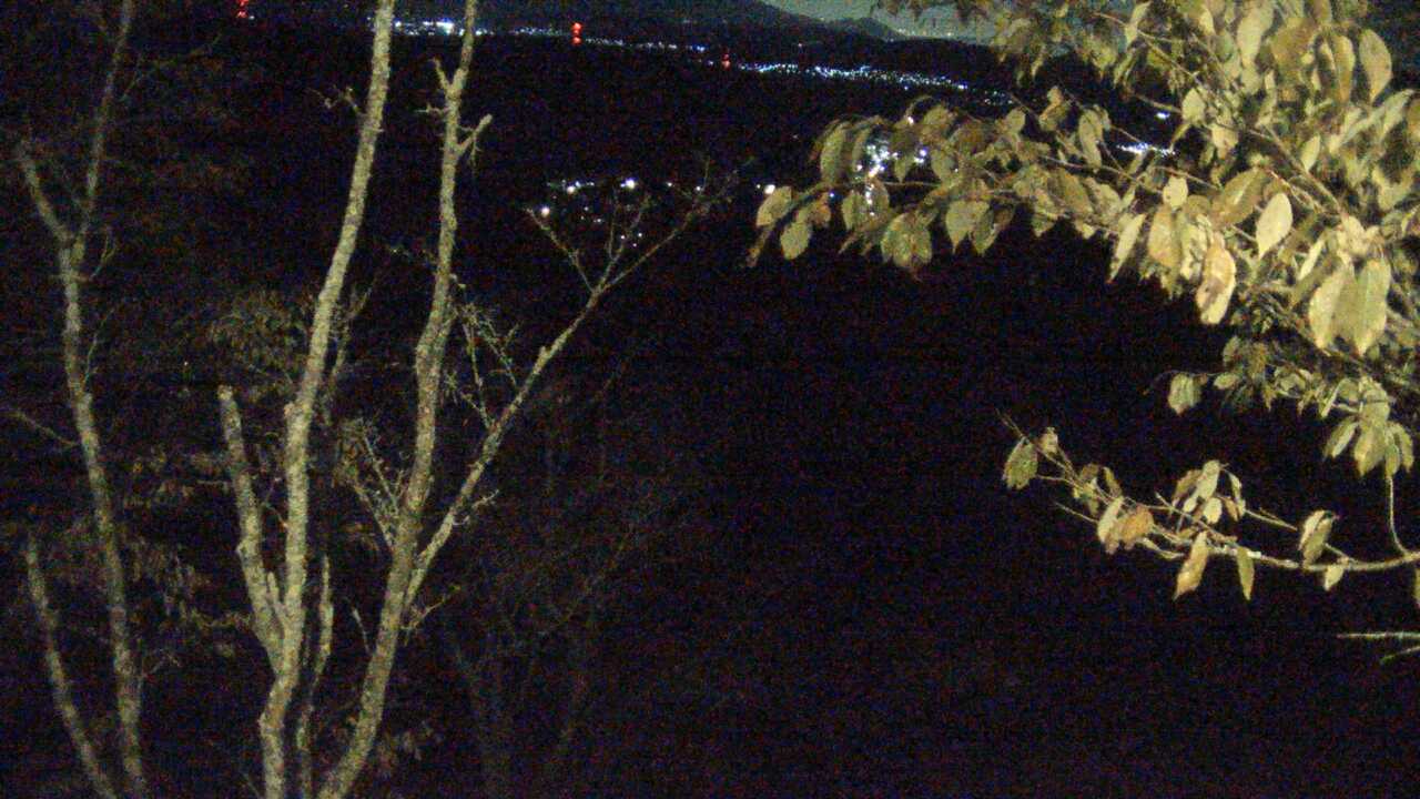
The slopes and mountain town at Kamisenbon on Mount Yoshino
- Source
- Ministry of the Environment, Japan
- Format
- Official page · still preview
奈良県
See the approach to Nara Park and Todaiji, Mount Yoshino or Soni Highland. If you are going to Yoshino for the blossoms, check its camera rather than the one at Nara Park.
Nara Park and Todaiji work well together on foot. Mount Yoshino takes another journey and more walking, so give it enough time if blossoms or autumn colour are your reason for going.
Mount Yoshino is a spring blossom destination; autumn brings colour around Nara Park. Elevation affects bloom timing, so check the exact area you plan to visit.
Unwrap kakinoha sushi before eating; chagayu is warm tea-cooked rice porridge. One can be a travel snack, the other a sit-down meal.
The slopes and mountain town at Kamisenbon on Mount Yoshino
the landscaped outdoor art park
the grassland and sky around Okame Pond
weather near the Farm Garden approach
the sky and mountain visibility toward Mount Miune
the historic street around Machinami Denshokan
 Periodically updated image · 09/10, 20:00 JST
Nara
吉野山上千本から望む吉野桜と町並み
See the slopes and village around Kamisenbon on Mount Yoshino, known for its spring cherry blossoms. The Ministry of the Environment's still images normally update hourly rather than showing continuous video.
Ministry of the Environment, Japan
Open official camera No source preview provided · check the official source
Nara
室生山上公園芸術の森
Komadori Cable’s official camera covers Muro Art Forest. Check weather around the outdoor art park before visiting.
Komadori Cable
Open official cameraNo source preview provided · check the official sourceNara
曽爾高原(お亀池)
The broadcaster's official camera overlooks Okame Pond and the grassland at Soni Highland. Check visibility and the seasonal scenery before a walk.
Komadori Cable
Open official cameraNo source preview provided · check the official sourceNara
曽爾高原ファームガーデン付近
This official camera is near Soni Highland's Farm Garden. Check the approach conditions before visiting; this is a different view from the Okame Pond camera.
Komadori Cable
Open official cameraNo source preview provided · check the official sourceNara
御杖村 三峰山
Komadori Cable’s camera looks toward Mount Miune from Mitsue. It shows local visibility, not the condition or safety of the entire mountain trail.
Komadori Cable
Open official cameraNo source preview provided · check the official sourceNara
五條市 まちなみ伝承館
This official camera shows the streets around Gojo’s Machinami Denshokan heritage facility. Check the weather and streetscape before a walk.
Komadori Cable
Open official cameraNo source preview provided · check the official sourceNara
五條市 賀名生の里
Komadori Cable's official camera shows the village surroundings around Ano in Gojo, not all of the nearby plum blossoms.
Komadori Cable
Open official cameraNo source preview provided · check the official sourceNara
天川村 みたらい渓谷
The broadcaster's official camera shows Mitarai Valley. Check the valley scenery here, and consult local notices for access and river conditions.
Komadori Cable
Open official cameraNo source preview provided · check the official sourceNara
野迫川村 雲海景勝地
This official camera looks out from Nosegawa’s sea-of-clouds viewpoint. The clouds depend on the weather, and fog or darkness can limit the view.
Komadori Cable
Open official cameraNo source preview provided · check the official sourceNara
十津川村 谷瀬の吊り橋
Komadori Cable’s official camera shows the area around Tanize Suspension Bridge. Preview the setting and check local notices separately for access restrictions.
Komadori Cable
Open official cameraNo source preview provided · check the official sourceNara
上北山村 小橡瀧川寺
The official camera covers the area around the temple in Kotochi, Kamikitayama. It shows the mountain village setting, not the temple interior.
Komadori Cable
Open official cameraNo source preview provided · check the official sourceNara
下北山村 上池原スポーツ公園
The official camera covers the area around Kamiikehara Sports Park in Shimokitayama. Check the local weather and scenery before outdoor activities.
Komadori Cable
Open official cameraNo on-site preview · check the official sourceNara
奈良公園内道路
Nara Prefecture posts regularly updated images of the road through Nara Park toward Todaiji. This view does not show deer or the temple interior.
Nara Prefecture
Open official cameraNo on-site preview · check the official sourceNara
王寺町 明神山山頂ライブカメラ
Oji Town's official summit cameras, linked by its tourism association, show different directions across the Nara basin and surrounding mountains through photographs updated about every ten minutes.
Oji Town
Open official cameraCamera guide updated: