Japan hiking map, trailhead access and mountain webcams
Compare nine hiking starting points in Japan, including Mount Takao, Fuji, Rokko and Homan. Find access maps, public transit links, official trail information and related webcams.
Find a hiking starting point in Japan
Choose a starting point before planning your climb. These 9 source-checked locations appear alongside cameras under the map’s Mountains tab. This is not a complete trailhead directory for Japan’s 100 famous mountains.
Pins mark trailhead areas or starting facilities, not live access status or hiking routes. Check official closures and weather before setting out. A webcam cannot establish whether a trail is safe.
Near Tokyo: choose the starting point, not just the mountain
Kiyotaki Station sits by several Takao trail entrances. Takimoto is the lower cable-car station for Mitake, while Miyawaki is the shrine-side approach to Tsukuba—not the separate Tsutsujigaoka ropeway station. Use the starting point you intend to visit as your transport destination.
Murodo, Senjojiki and Sugatami are already up the mountain
These are upper-mountain starting points, not foothill trailheads. Check Alpine Route transport for Murodo, bus and ropeway access for Senjojiki, and the Asahidake ropeway for Sugatami. A short walk nearby is different from a summit climb; allow for the journey up and the last service down.
A station, a shrine and a Fifth Station are different kinds of access
For Rokko, the pin marks Cable-Shita Station, an access reference for the Aburakobushi course. For Homan, it marks Kamado Shrine’s lower precinct by the main approach. Fuji’s pin marks the Yoshida Fifth Station management center. Reaching any of these facilities does not establish trail readiness or permission to climb.
This upper ropeway station is a starting point for walks around Sugatami Pond and climbs of Asahidake. These are different routes; check conditions for your chosen route and the return ropeway schedule.
Mount Tsukuba — Miyawaki Station / shrine approach
Trailhead / access base · 100 Famous Mountains
Use this cable-car station as a reference for the shrine-side approach. For a walking ascent, check the Miyukigahara course. This is not Tsutsujigaoka, the separate ropeway starting point.
The pin marks the cable-car station at the foot of Mount Takao. Trail 1, Trail 6 and the Inariyama trail follow different routes. Choose your route on the official trail map and check closure notices before setting off.
Takimoto is the lower cable-car station for Mount Mitake. Decide whether to ride up or walk, then check the operator’s walking guides and transport information for your return.
This high-mountain terminal is reached via Alpine Route transport. A walk around Murodo is different from a climb to Oyama via Ichinokoshi. Plan your route and check the last transport back from the terminal.
Mount Fuji — Yoshida Fifth Station management center
Trailhead / access base · 100 Famous Mountains
This pin marks the management center at the Yoshida Route’s Fifth Station, not the summit or any of Fuji’s other three trailheads. Access to the Fifth Station does not mean the summit trail is open. Check climbing-season dates, entry procedures and restrictions.
Mount Kisokomagatake — Hotel Senjojiki / upper ropeway base
Upper mountain base · 100 Famous Mountains
This is the Senjojiki starting area reached by bus and ropeway. A walk around the cirque is not the same as a climb of Kisokomagatake. Check alpine equipment needs, trail conditions and ropeway operation before travelling.
Mount Rokko — Rokko Cable-Shita Station starting area
Trailhead / access base · Other hiking mountains
This lower cable-car station is the starting reference for the visitor center’s Aburakobushi hiking course. The pin marks the station, not the exact trail gate; follow the official map to reach the path.
Mount Homan — Kamado Shrine lower precinct / main approach
Trailhead / access base · Other hiking mountains
The pin marks Kamado Shrine’s lower precinct in Dazaifu. Visiting the shrine and climbing Mount Homan are different outings. The main ascent continues from the shrine and includes stone steps; check the official route guide and your return bus.
Can I find hiking starting points in Japan on an English map?
The Mountains tab shows 9 starting points with checked location sources. Search for a mountain or facility and select its pin for an English explanation and official information. Pins mark reference facilities, not surveyed trail gates.
Does this map cover all of Japan’s 100 famous mountains?
No. 5 of the 9 listed starting points serve mountains in that selection. The others are Takao, Mitake, Rokko and Homan. This is not a complete directory of the 100 mountains or every hiking trail.
Can I find a train or bus route to the starting point?
Select “Find transit” to open Google Maps with the facility’s coordinates as the destination, then enter your origin. If bus or ropeway legs or schedules are missing, consult the linked official operator information.
Can a webcam tell me whether a trail is open and safe?
No. A camera only shows its own field of view and cannot establish conditions along an entire trail. Check the source timestamp, weather forecasts and official closure notices separately before deciding to hike.
How we checked these starting points
We matched official operator and tourism guidance with location evidence for each facility. We did not substitute summit coordinates for trailheads. Where a pin marks a station, terminal or shrine, we explain that it is a reference facility rather than an exact trail gate. This is source-based planning information, not a firsthand trip report or a live access report.
Guide reviewed: . Station positions: MLIT N02-2025 (CC BY 4.0), adapted by JapanLiveNow. Selected facility positions: OpenStreetMap contributors (ODbL). See each location source.
A summit panorama and a trailhead camera answer different questions. If you need conditions at your starting point, check that it is actually in frame.
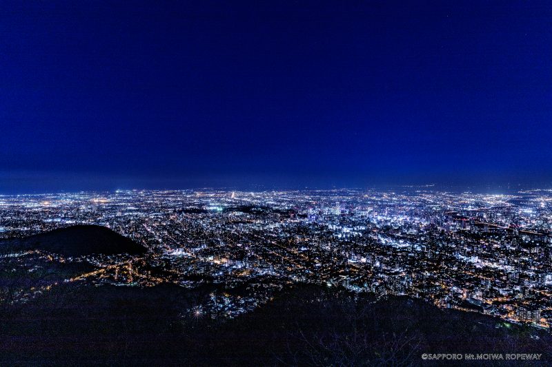
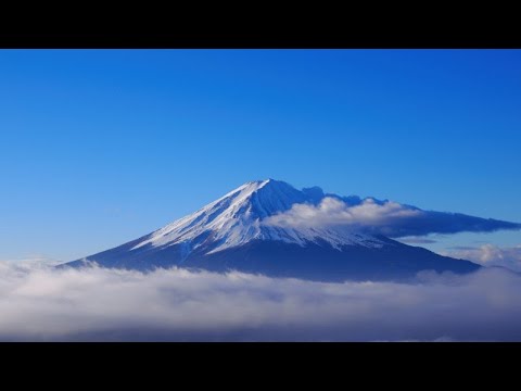
The official still image, updated every ten minutes, shows the area around Mount Moiwa’s summit elevation sign. The introductory image on this page is not a current view.
The Mt. Fuji Panoramic Ropeway offers an official 4K live camera view from its upper observatory. Check the mountain outlook before a ride or walk on Mount Tenjo, and confirm stream availability on the official page.
RKK's rooftop camera at the Aso Volcano Museum shows Kusasenri grassland and sky, not the crater or an alert monitor. Check official volcanic alerts and access notices before visiting.
The Japan Meteorological Agency's periodically updated still image looks toward Mount Aso from Kurumagaeri. It is not continuous video; check alerts and access restrictions before hiking.
The Japan Meteorological Agency's still image shows Tsurumidake and Garandake from Tsukahara Muta. It is not continuous video; check alerts and access restrictions before visiting the mountains.
Biwako Valley's summit camera shows the area around Biwako Terrace. The image updates about every ten seconds; check the operator's notices for ropeway service.
Rokkosan Visitor Center links to an official live camera showing the mountain. Check the sky and surroundings before heading uphill, and confirm stream availability on the source page.
This official Ministry of the Environment image looks toward Mount Fuji above the forest at the mountain's northern foot. For Fuji across the water, use a Lake Kawaguchiko shore camera instead.
The Ministry of the Environment's updated image shows Mount Asama and the sky from Tsumagoi. You can see how much cloud covers the mountain, but an apparent plume cannot establish volcanic conditions.
This official Ministry of the Environment image looks from Norikura Kogen toward Mount Norikura and the surrounding forest. It can provide context for cloud and remaining snow before a highland or mountain-view visit.
This official camera is near Soni Highland's Farm Garden. Check the approach conditions before visiting; this is a different view from the Okame Pond camera.
Open the Natural Parks Foundation’s official live channel for Kirifuri Kisugedaira. Preview the highland setting and check current broadcast availability there.
The Natural Parks Foundation's official camera looks from Kusasenri Viewpoint toward the grassland and Aso Nakadake. Check local notices separately for crater access.
Usuzan Ropeway publishes updated photographs from its summit station. Check mountain visibility here, and consult the operator separately for ropeway service.
Kamifurano provides east- and west-facing photographs around Tokachidake Onsen at roughly five-minute intervals. Select a direction on the official page.
Iwate Prefecture's road camera shows Mikaeri Pass, an approach to Hachimantai's summit walking trails. Check snow cover and visibility near the pass; the Dragon Eye pond is outside the frame.
Tsukuba City’s official camera looks toward the Kanto Plain from the ropeway station just below Nyotai’s summit. Check the weather and distant views; clouds or fog can obscure the panorama.
Daigo Town provides this view toward Okukuji Mount Nantai from near Oenji Sanso at the mountain’s foot, not from the summit. The marker approximates the lodge and trailhead vicinity.
Futarasan Shrine provides this Mount Nantai summit camera, listed by Nikko’s tourism association. Select 男体山山頂 on the official list for updated pictures.
Tanigawadake Joch and Mt.T’s current official conditions page links to this camera channel. Select an available broadcast for Tenjindaira slope and lift-area scenery.
The Oze Preservation Foundation links to Tokyo Power Technology's periodically updated photographs. Select 鳩待峠 on the original page for the view toward Mount Shibutsu, normally updated every ten minutes.
Tokyo Power Technology’s official Toden Hut camera is linked by the Oze Preservation Foundation. Select 東電小屋 for periodic photographs of Ozegahara toward Mount Shibutsu, normally updated every ten minutes.
Minamiashigara City and Hakone Tourist Association link to this official camera at Kintaro Chaya on Mount Kintoki. Open the original page for summit-area mountain scenery.
The official ropeway camera shows the Northern Alps from the summit observatory at Nishihotakaguchi Station. Clouds and seasons affect mountain, snow and autumn views.
Periodically refreshed photographs from the roof of Gozaisho Ropeway's Summit Park Station. The operator describes one-minute updates during business hours and possible freezing in winter.
The Ishizuchi Mountain Range Partnership Council provides this periodically updated view toward Mount Ishizuchi from Jojusha Shrine. Fog or cloud may obscure the mountain.
Oji Town's official summit cameras, linked by its tourism association, show different directions across the Nara basin and surrounding mountains through photographs updated about every ten minutes.
Sanbe Tours, operated by Sanbe Development Corporation, provides this official camera from Yama no Eki Sanbe overlooking Nishinohara grassland. Its official page selects the channel's current live stream rather than a fixed video ID.
Hodosan Ropeway's summit garden camera shows hillside trees and walking paths. The live-camera button on the official page opens an external HTTP viewer.
Zao Town's visitor guide links to an MLIT camera around Okama Crater. The updated still images show the mountains and clouds; check the source timestamp as well.
JMA publishes updated still images of Mount Hakkoda from its Jigokunuma station near Sukayu Onsen. These are not continuous video or a view inside the hot spring.
MLIT's Nikko Sabo Office publishes periodically refreshed views of Mount Nasu from a Tochigi Prefecture camera. The marker approximates the Nasu Ropeway base-station area, not the exact mount.
Busshoike Hut links to a camera near Mount Gassan's ninth station. The original offers photographs of the hut surroundings and the snowfield direction.
This camera shows Yutaki Falls from the rest-house area below. The still image updates about every 15 minutes, though the falls may be hard to see at night.
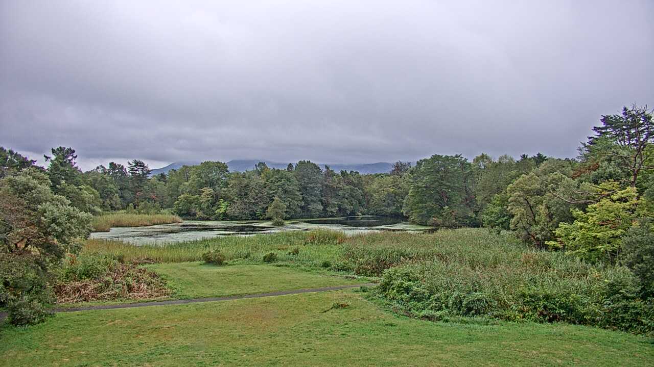
The Renge-numa camera shows the pond and the view toward Mount Bandai in Urabandai. You can see the sky and seasonal scenery around the water before a walk.
The Ministry of the Environment camera looks toward Mount Nekodake in the Aso range from Minamiaso. It shows the ridgeline and sky, not Aso crater or Kusasenri.
From Kagamiganaru, the Ministry of the Environment camera shows Mount Karasugasen and the ridgeline of the Daisen highlands. It is a distant mountain view, not a trail camera.
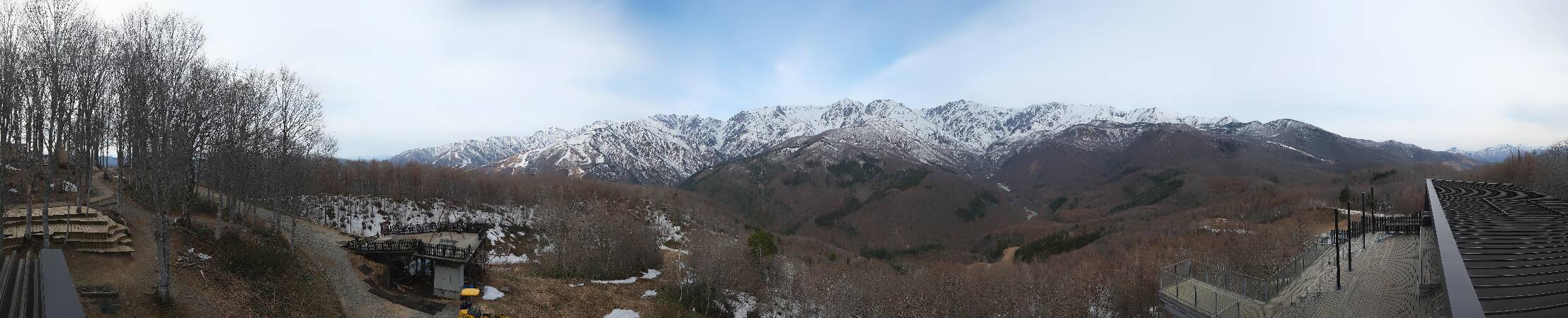
Hakuba Iwatake Mountain Harbor's panoramic camera takes in the Northern Alps and the area around the summit terrace. See the wide mountain view and the deck surroundings together.
This is Mount Asahidake from Sugatami Station, the ropeway’s upper station. Depending on the season, you may see lingering snow or autumn color on the mountain.
The Alpine Route’s Murodo camera shows the highland and surrounding ridges. For a walk or transfer there, use this view and check transport and trail notices with the operator.
See the alpine scenery at Midagahara on the Tateyama Kurobe Alpine Route. Open the official camera page for this stop, which offers a different view from Murodo.
See the mountains and resort from the upper station of Hakuba Happo's Alpen Quad lift. This higher view differs from the Usagidaira and gondola-base cameras below.
This camera shows the mountains and resort around Usagidaira at Hakuba Happo. It covers a different area from the Alpen Quad upper station and gondola base.
See the area around Hakuba Happo's gondola base, with the mountains beyond. Compare it with the upper-station camera for views from the lower and higher parts of the resort.
This camera shows the mountain surroundings at Tsuganomori, the upper gondola station at Tsugaike Kogen. It is separate from the ropeway station serving the nature park.
See the upper ropeway station serving Tsugaike Nature Park and the surrounding mountains. Check the image and its timestamp when planning a highland walk.
From Hotel Senjojiki, this camera looks toward Senjojiki Cirque in the Central Alps. It shows a different alpine view from the camera facing the Southern Alps.
See Mount Fuji from First Terrace at FUJIYAMA Twin Terrace on Shindo Pass. Images usually update about every 30 minutes during daylight hours; check the capture time on the source page.
See the mountains around Higashidateyama's upper gondola station in Shiga Kogen. The tourism association's official page links to the resort operator's camera.
See the high-alpine scenery around Yarigatake Sanso, the hut below the summit. Images may stop updating because of weather or seasonal closures, so check the capture time.
The SORA no IRO terrace on Nijumagari Pass looks over Oshino village toward Mount Fuji. For a riverside view of Fuji, open the Omiyabashi still image instead.
See the reception area at the Fifth Station General Management Center on Mount Fuji's Yoshida Route. Yamanashi Prefecture operates this seasonal camera during the climbing season; check the source for stream availability.